| Folder No. | County Name City |
Scanning | TSR | Quadrangle | Lat/Long | Project | Dates | Miscellaneous | Range of sheets | No. of sheets |
Cabinet | Notes |
|---|---|---|---|---|---|---|---|---|---|---|---|---|
|
Sheet 1, No. 583
View |
Comanche, Kiowa
No city |
Scanned
(30 online) |
T. 30-35 S., R. 17 W. |
37.20034
-99.1631 |
CHK | 6-15-1950 | Elevation = 20000 | 3G-31 to 60 | 30 | 12 | Folder labeled 17-11 |
Click on any thumbnail to view a larger photo.
|
CHK-3G-31
37.413102 -99.160903 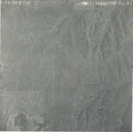
|
CHK-3G-32
37.399422 -99.163969 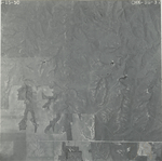
|
CHK-3G-33
37.385127 -99.164918 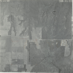
|
CHK-3G-34
37.368988 -99.165973 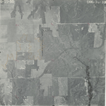
|
CHK-3G-35
37.356923 -99.163289 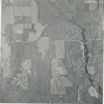
|
CHK-3G-36
37.341642 -99.163905 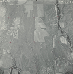
|
|
CHK-3G-37
37.326179 -99.164017 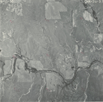
|
CHK-3G-38
37.311355 -99.164186 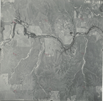
|
CHK-3G-39
37.296294 -99.163876 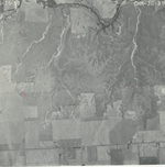
|
CHK-3G-40
37.282886 -99.163931 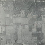
|
CHK-3G-41
37.267561 -99.164828 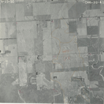
|
CHK-3G-42
37.249474 -99.164829 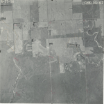
|
|
CHK-3G-43
37.237089 -99.16449 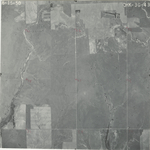
|
CHK-3G-44
37.224934 -99.164153 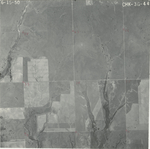
|
CHK-3G-45
37.209128 -99.16401 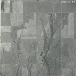
|
CHK-3G-46
37.194964 -99.16367 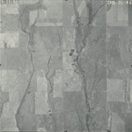
|
CHK-3G-47
37.18058 -99.163594 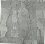
|
CHK-3G-48
37.165591 -99.164653 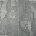
|
|
CHK-3G-49
37.150005 -99.162004 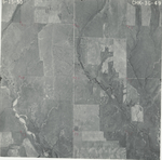
|
CHK-3G-50
37.135158 -99.162865 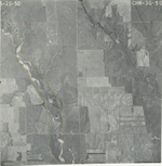
|
CHK-3G-51
37.120076 -99.162372 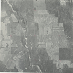
|
CHK-3G-52
37.104182 -99.16109 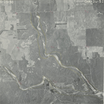
|
CHK-3G-53
37.089849 -99.164326 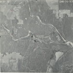
|
CHK-3G-54
37.075049 -99.162262 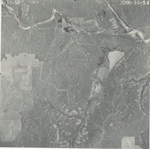
|
|
CHK-3G-55
37.059793 -99.162428 
|
CHK-3G-56
37.042472 -99.160687 
|
CHK-3G-57
37.028889 -99.160936 
|
CHK-3G-58
37.013209 -99.160778 
|
CHK-3G-59
36.997482 -99.160868 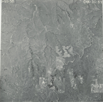
|
CHK-3G-60
36.98281 -99.159181 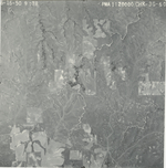
|