| Folder No. | County Name City |
Scanning | TSR | Quadrangle | Lat/Long | Project | Dates | Miscellaneous | Range of sheets | No. of sheets |
Cabinet | Notes |
|---|---|---|---|---|---|---|---|---|---|---|---|---|
|
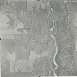
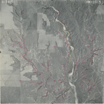
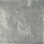
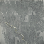
Sheet 1, No. 584
View |
Comanche, Kiowa
No city |
Scanned
(29 online) |
T. 30-35 S., R. 16 W. |
37.208903
-99.056245 |
CHK | 6-14-1950 | Elevation = 20000 | 1G-65 to 37 | 29 | 12 | Folder labeled 17-14 |
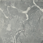
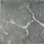
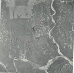
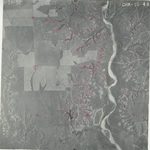
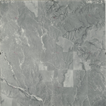
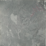
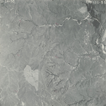
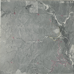
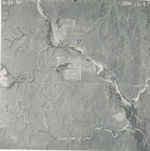
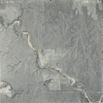
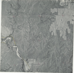
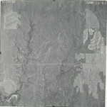
Click on any thumbnail to view a larger photo.
CHK-1G-37
|
CHK-1G-38
|
CHK-1G-39
|
CHK-1G-40
|
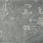
CHK-1G-41
|
CHK-1G-42
|
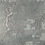
CHK-1G-43
|
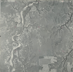
CHK-1G-44
|
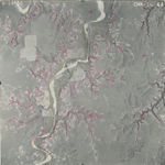
CHK-1G-45
|
CHK-1G-46
|
CHK-1G-47
|
CHK-1G-48
|
CHK-1G-49
|
CHK-1G-50
|
CHK-1G-51
|
CHK-1G-52
|
CHK-1G-53
|
CHK-1G-54
|
CHK-1G-55
|
CHK-1G-56
|
CHK-1G-57
|
CHK-1G-58
|
CHK-1G-59
|
CHK-1G-60
|
CHK-1G-61
|
CHK-1G-62
|
CHK-1G-63
|
CHK-1G-64
|
CHK-1G-65
|