| Folder No. | County Name City |
Scanning | TSR | Quadrangle | Lat/Long | Project | Dates | Miscellaneous | Range of sheets | No. of sheets |
Cabinet | Notes |
|---|---|---|---|---|---|---|---|---|---|---|---|---|
|
Sheet 1, No. 588
View |
Comanche
No city |
Scanned
(10 online) |
T. 33-34 S., R. 18-19 W. | Coldwater #3 SE |
37.059714
-99.300084 |
GS VDCI | 4-9-1974 and 4-10-1974 | Flights 1, 2, 3, and 4 EW 12000 | 2-223, 225; 2-249, 251, 253; 1-245, 247, 249; 1-285, 287 | 10 | 12 | #1BK; R. L. Johnson; Some photos seem to be missing |
Click on any thumbnail to view a larger photo.
|
GS-VDCI-1-245
37.046961 -99.323755 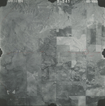
|
GS-VDCI-1-247
37.044807 -99.273163 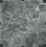
|
GS-VDCI-1-249
37.044797 -99.222215 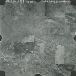
|
GS-VDCI-1-285
37.009013 -99.286003 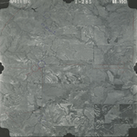
|
GS-VDCI-1-287
37.010439 -99.333711 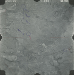
|
GS-VDCI-2-223
37.106043 -99.339392 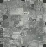
|
|
GS-VDCI-2-225
37.105785 -99.2867 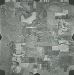
|
GS-VDCI-2-249
37.076879 -99.257347 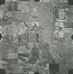
|
GS-VDCI-2-251
37.07599 -99.312727 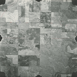
|
GS-VDCI-2-253
37.076422 -99.365825 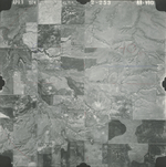
|