| Folder No. | County Name City |
Scanning | TSR | Quadrangle | Lat/Long | Project | Dates | Miscellaneous | Range of sheets | No. of sheets |
Cabinet | Notes |
|---|---|---|---|---|---|---|---|---|---|---|---|---|
|
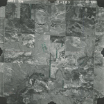
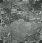
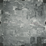
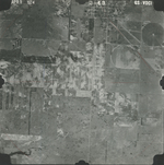
Sheet 1, No. 589
View |
Comanche
Coldwater |
Scanned
(4 online) |
T. 31-32 S., R. 18 W. | Coldwater #2 SE |
37.295525
-99.273858 |
GS VDCI | 4-9-1974 | Flights 1, 2, 3, and 4 EW 12000 | 1-169; 1-185, 187; 2-43 | 4 | 12 | 2x enlargement 2-44 -- Some photos seem to be missing |
Click on any thumbnail to view a larger photo.
GS-VDCI-1-169
|
GS-VDCI-1-185
|
GS-VDCI-1-187
|
GS-VDCI-2-43
|