| Folder No. | County Name City |
Scanning | TSR | Quadrangle | Lat/Long | Project | Dates | Miscellaneous | Range of sheets | No. of sheets |
Cabinet | Notes |
|---|---|---|---|---|---|---|---|---|---|---|---|---|
|
Sheet 1, No. 590
View |
Comanche
No city |
Scanned
(7 online) |
T. 31 S., R. 19-20 W. | Coldwater #2 SW |
37.337898
-99.436033 |
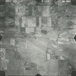
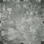
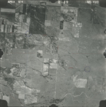
GS VDCI | 4-9-1974 | Flights 1, 2, 3, and 4 EW 12000 | 1-163; 1-189, 191, 193; 2-19, 23; 2-49 | 7 | 12 | East Kiowa Creek South KS; BK-2 Johnson; 1 Sup book; Some photos seem to be missing |
Click on any thumbnail to view a larger photo.
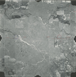
GS-VDCI-1-163
|
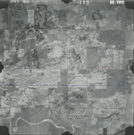
GS-VDCI-1-189
|
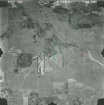
GS-VDCI-1-191
|
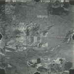
GS-VDCI-1-193
|
GS-VDCI-2-19
|
GS-VDCI-2-23
|
GS-VDCI-2-49
|