| Folder No. | County Name City |
Scanning | TSR | Quadrangle | Lat/Long | Project | Dates | Miscellaneous | Range of sheets | No. of sheets |
Cabinet | Notes |
|---|---|---|---|---|---|---|---|---|---|---|---|---|
|
Sheet 1, No. 594
View |
Comanche
No city |
Scanned
(8 online) |
T. 32-33 S., R. 19-20 W. | Coldwater #3 NW |
37.207072
-99.436217 |
GS VDCI | 4-9-1974 | Flights 1, 2, 3, and 4 EW 12000 | 88-92; 129-125; 156-152; 194-190 | 8 | 12 | BK-1+3 Johnson BK-3 Missing 2x enlargement 2-929 (?) 2BKS. 1BK missing -- Some photos seem to be missing |
Click on any thumbnail to view a larger photo.
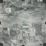
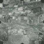
GS-VDCI-2-89
|
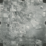
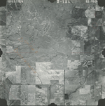
GS-VDCI-2-91
|
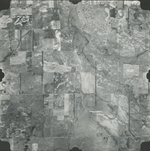
GS-VDCI-2-125
|
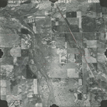
GS-VDCI-2-127
|
GS-VDCI-2-153
|
GS-VDCI-2-155
|
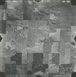
GS-VDCI-2-191
|
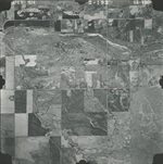
GS-VDCI-2-193
|