| Folder No. | County Name City |
Scanning | TSR | Quadrangle | Lat/Long | Project | Dates | Miscellaneous | Range of sheets | No. of sheets |
Cabinet | Notes |
|---|---|---|---|---|---|---|---|---|---|---|---|---|
|
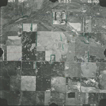
Sheet 1, No. 596
View |
Comanche
Protection SW |
Scanned
(9 online) |
T. 34-35 S., R. 19-20 W. | Coldwater #3 SW |
37.061886
-99.433224 |
GS VDCI | 4-9-1974 | Flights 1, 2, 3, and 4 EW 12000 | 218-221; 257-254; 239-243; 292-289 | 9 | 12 | Some photos seem to be missing |
Click on any thumbnail to view a larger photo.
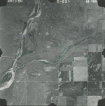
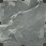
GS-VDCI-1-239
|
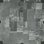
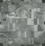
GS-VDCI-1-241
|
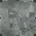
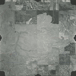
GS-VDCI-1-243
|
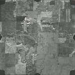
GS-VDCI-1-289
|
GS-VDCI-1-291
|
GS-VDCI-2-219
|
GS-VDCI-2-221
|
GS-VDCI-2-255
|
GS-VDCI-2-257
|