| Folder No. | County Name City |
Scanning | TSR | Quadrangle | Lat/Long | Project | Dates | Miscellaneous | Range of sheets | No. of sheets |
Cabinet | Notes |
|---|---|---|---|---|---|---|---|---|---|---|---|---|
|
Sheet 1, No. 597
View |
Comanche
No city |
Scanned
(7 online) |
T. 31-32 S., R. 16-17 W. | Wilmore SW |
37.296669
-99.11063 |
GS VDCI | 4-9-1974 | Flights 1, 2, 3, and 4 EW 12000 | 171-177; 184-178; 28-34; 41-35 | 7 | 12 | Some photos seem to be missing |
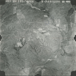
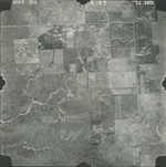
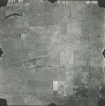
Click on any thumbnail to view a larger photo.
GS-VDCI-1-175
|
GS-VDCI-1-181
|
GS-VDCI-2-29
|
GS-VDCI-2-31
|
GS-VDCI-2-34
|
GS-VDCI-2-37
|
GS-VDCI-2-41
|