| Folder No. | County Name City |
Scanning | TSR | Quadrangle | Lat/Long | Project | Dates | Miscellaneous | Range of sheets | No. of sheets |
Cabinet | Notes |
|---|---|---|---|---|---|---|---|---|---|---|---|---|
|
Sheet 1, No. 599
View |
Comanche
No city |
Scanned
(47 online) |
T. 33-35 S., R. 16-18 W. |
37.063031
-99.162418 |
CHK | 6-14-1950 and 6-15-1950 | 51 (including cut photos) | 12 | Includes Woods County, Oklahoma; Strips W-7-13; Some photos cut -- No folder |
Click on any thumbnail to view a larger photo.
|
CHK-1G-38
36.994415 -99.053671 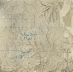
|
CHK-1G-40
37.026053 -99.055638 
|
CHK-1G-42
37.054545 -99.054673 
|
CHK-1G-44
37.087524 -99.055585 
|
CHK-1G-46
37.115254 -99.054511 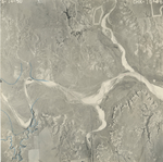
|
CHK-1G-48
37.147961 -99.058309 
|
|
CHK-2G-18
37.144828 -99.098628 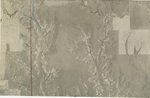
|
CHK-3G-9
37.087084 -99.126856 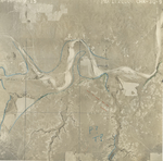
|
CHK-3G-11
37.120348 -99.132436 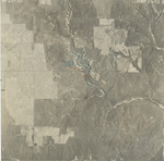
|
CHK-3G-13
37.142543 -99.131495 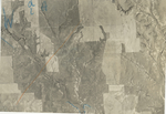
|
CHK-3G-49
37.146832 -99.164205 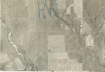
|
CHK-3G-51
37.120561 -99.162514 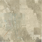
|
|
CHK-3G-53
37.092183 -99.163801 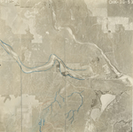
|
CHK-3G-55
37.060458 -99.163292 
|
CHK-3G-57
37.030605 -99.162709 
|
CHK-3G-59
37.003928 -99.160149 
|
CHK-3G-96
37.135921 -99.199689 
|
CHK-3G-97
37.120424 -99.199509 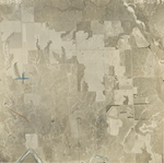
|
|
CHK-3G-99
37.092025 -99.195402 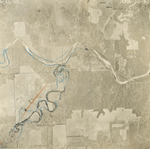
|
CHK-3G-101
37.060543 -99.197381 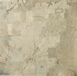
|
CHK-3G-103
37.032532 -99.198437 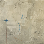
|
CHK-3G-105
37.005654 -99.197958 
|
CHK-3G-111
37.001356 -99.235772 
|
CHK-3G-113
37.031651 -99.234567 
|
|
CHK-3G-115
37.055479 -99.235031 
|
CHK-3G-117
37.091655 -99.23422 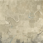
|
CHK-3G-119
37.120943 -99.238175 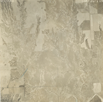
|
CHK-3G-120
37.135533 -99.237172 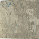
|
CHK-4G-11
37.135362 -99.269292 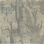
|
CHK-4G-12
37.12076 -99.268519 
|
|
CHK-4G-14
37.091561 -99.267694 
|
CHK-4G-16
37.0624 -99.270795 
|
CHK-4G-18
37.033449 -99.270721 
|
CHK-4G-20
37.002264 -99.26819 
|
CHK-6G-17
37.120494 -99.089029 
|
CHK-6G-19
37.092937 -99.087934 
|
|
CHK-6G-21
37.063289 -99.088501 
|
CHK-6G-23
37.033184 -99.089126 
|
CHK-6G-25
37.005177 -99.088625 
|
CHK-6G-32
36.997541 -99.128451 
|
CHK-6G-33
37.010405 -99.126749 
|
CHK-6G-35
37.037432 -99.127232 
|
|
CHK-6G-37
37.063919 -99.127375 
|
OP-4H-43
|
OP-4H-75
|
OP-4H-97
|
OP-4H-111
|