| Folder No. | County Name City |
Scanning | TSR | Quadrangle | Lat/Long | Project | Dates | Miscellaneous | Range of sheets | No. of sheets |
Cabinet | Notes |
|---|---|---|---|---|---|---|---|---|---|---|---|---|
|
Sheet 1, No. 601
View |
Finney
No city |
Scanned
(21 online) |
T 22-23 S., R 26-29 W. |
38.100092
-100.353388 |
CDA | 9-30-1952 and 6-23-1952 | 12 | (Labeled as Lane-Finney county, but found in Comanche county cabinet) Some photos cut -- No folder |
Click on any thumbnail to view a larger photo.
|
CDA-1K-170
38.076607 -100.243832 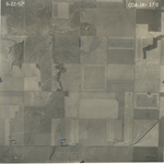
|
CDA-1K-172
38.108905 -100.247157 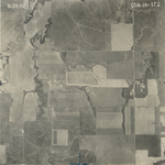
|
CDA-1K-174
38.139362 -100.247328 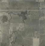
|
CDA-1K-197
38.12744 -100.280285 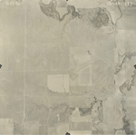
|
CDA-1K-199
38.098517 -100.280161 
|
CDA-1K-201
38.069753 -100.280567 
|
|
CDA-2K-41
38.065016 -100.317212 
|
CDA-2K-43
38.096955 -100.317148 
|
CDA-2K-53
38.125266 -100.316606 
|
CDA-2K-78
38.122613 -100.353605 
|
CDA-2K-80
38.094886 -100.353253 
|
CDA-2K-82
38.065464 -100.354471 
|
|
CDA-2K-161
38.069528 -100.38856 
|
CDA-2K-163
38.102191 -100.387813 
|
CDA-3K-23
38.13463 -100.462548 
|
CDA-3K-25
38.102488 -100.460695 
|
CDA-3K-27
38.070049 -100.461064 
|
CDA-3K-165
38.132962 -100.387514 
|
|
CDA-3K-169
38.132517 -100.426999 
|
CDA-3K-171
38.099711 -100.427099 
|
CDA-3K-173
38.067067 -100.427232 
|