| Folder No. | County Name City |
Scanning | TSR | Quadrangle | Lat/Long | Project | Dates | Miscellaneous | Range of sheets | No. of sheets |
Cabinet | Notes |
|---|---|---|---|---|---|---|---|---|---|---|---|---|
|
Sheet 1, No. 62
View |
Atchison
Atchison |
Scanned
(14 online) |
T. 5-6 S., R. 21 E. |
39.523676
-95.053662 |
GS-EBB | 11-11-1947 | 2-40 to 2-120 | 14 | 2 |
Click on any thumbnail to view a larger photo.
|
GS-EBB-2-40
39.534394 -95.106589 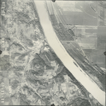
|
GS-EBB-2-41
39.535019 -95.089217 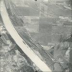
|
GS-EBB-2-42
39.53481 -95.073154 
|
GS-EBB-2-43
39.535262 -95.05537 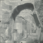
|
GS-EBB-2-44
39.534706 -95.040796 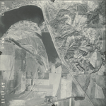
|
GS-EBB-2-45
39.534179 -95.022639 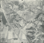
|
|
GS-EBB-2-46
39.53442 -95.006523 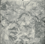
|
GS-EBB-2-114
39.511511 -95.003475 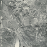
|
GS-EBB-2-115
39.512785 -95.018652 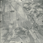
|
GS-EBB-2-116
39.51282 -95.035862 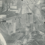
|
GS-EBB-2-117
39.512536 -95.051967 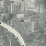
|
GS-EBB-2-118
39.512989 -95.067077 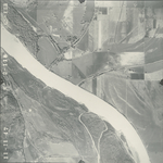
|
|
GS-EBB-2-119
39.513198 -95.079975 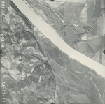
|
GS-EBB-2-120
39.512834 -95.099968 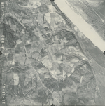
|