| Folder No. | County Name City |
Scanning | TSR | Quadrangle | Lat/Long | Project | Dates | Miscellaneous | Range of sheets | No. of sheets |
Cabinet | Notes |
|---|---|---|---|---|---|---|---|---|---|---|---|---|
|
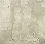
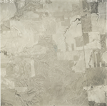
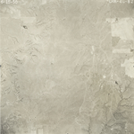
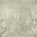
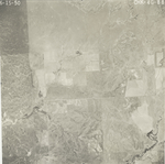
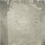
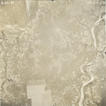
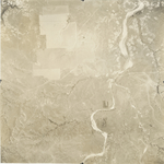
Sheet 1, No. 621
View |
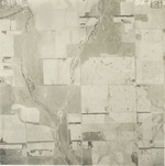
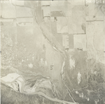
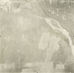
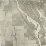
Comanche
No city |
Scanned
(69 online) |
T 34-35 S., 16-20 W. |
37.062392
-95.431113 |
CHK | 6-24-1950 | 2G-83; 5G-12, 14, 16; 6G-51-43 odd; 1G-45-39 odd; 6G-18 to 24 even; 38-34 even; 3G-10; 3G-52 to 58 even, 3G-98 to 106 even; 3G-118 to 110 even, 4G-13 to 21 odd; 4G-32 to 24 even, 4G-76 to 84 even; 4G-96 to 88 even; 5G-43 to 35 odd; 5G-30 to 22 even; 2G-38 to 32 even; |
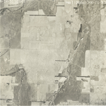
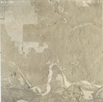
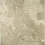
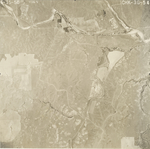
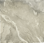
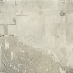
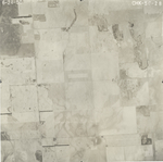
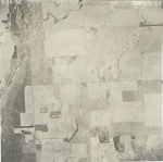
Click on any thumbnail to view a larger photo.
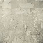
CHK-1G-39
|
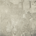
CHK-1G-41
|
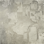
CHK-1G-43
|
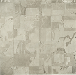
CHK-1G-45
|
CHK-2G-32
|
CHK-2G-34
|
CHK-2G-36
|
CHK-2G-38
|
CHK-2G-83
|
CHK-3G-10
|
CHK-3G-52
|
CHK-3G-54
|
CHK-3G-56
|
CHK-3G-58
|
CHK-3G-98
|
CHK-3G-100
|
CHK-3G-102
|
CHK-3G-104
|
CHK-3G-106
|
CHK-3G-110
|
CHK-3G-112
|
CHK-3G-114
|
CHK-3G-116
|
CHK-3G-118
|
CHK-4G-13
|
CHK-4G-15
|
CHK-4G-17
|
CHK-4G-19
|
CHK-4G-21
|
CHK-4G-24
|
CHK-4G-26
|
CHK-4G-28
|
CHK-4G-30
|
CHK-4G-32
|
CHK-4G-76
|
CHK-4G-78
|
CHK-4G-80
|
CHK-4G-82
|
CHK-4G-84
|
CHK-4G-88
|
CHK-4G-90
|
CHK-4G-92
|
CHK-4G-94
|
CHK-4G-96
|
CHK-5G-12
|
CHK-5G-14
|
CHK-5G-16
|
CHK-5G-22
|
CHK-5G-24
|
CHK-5G-26
|
CHK-5G-28
|
CHK-5G-30
|
CHK-5G-35
36.991046 -99.416071 
|
CHK-5G-37
37.021997 -99.418368 
|
|
CHK-5G-39
37.049959 -99.418715 
|
CHK-5G-41
37.083858 -99.418023 
|
CHK-5G-43
37.117549 -99.419272 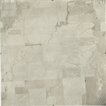
|
CHK-6G-18
|
CHK-6G-20
|
CHK-6G-22
|
CHK-6G-24
|
CHK-6G-34
37.02304 -99.125033 
|
CHK-6G-36
37.051075 -99.126137 
|
CHK-6G-38
37.076531 -99.127888 
|
CHK-6G-43
36.998474 -99.017646 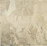
|
CHK-6G-45
37.025223 -99.015762 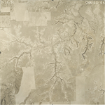
|
|
CHK-6G-47
37.053714 -99.019379 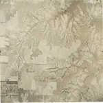
|
CHK-6G-49
37.08379 -99.020363 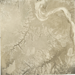
|
CHK-6G-51
37.113434 -99.021018 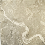
|