| Folder No. | County Name City |
Scanning | TSR | Quadrangle | Lat/Long | Project | Dates | Miscellaneous | Range of sheets | No. of sheets |
Cabinet | Notes |
|---|---|---|---|---|---|---|---|---|---|---|---|---|
|
Sheet 1, No. 648
View |
Crawford, Bourbon, Cherokee
No city |
Scanned
(25 online) |
T. 27-31 S., R. 23 E. |
37.499535
-94.88778 |
GS-AXW | 6-13-1950 | 2G-29 to 2G-53 | 25 | 13 | Flight strip #6 |
Click on any thumbnail to view a larger photo.
|
GS-AXW-2G-29
37.324239 -94.886739 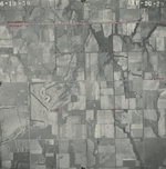
|
GS-AXW-2G-30
37.339944 -94.885771 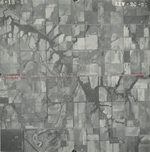
|
GS-AXW-2G-31
37.354219 -94.887206 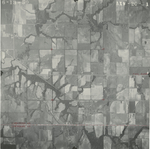
|
GS-AXW-2G-32
37.369205 -94.887384 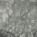
|
GS-AXW-2G-33
37.383616 -94.887685 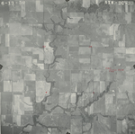
|
GS-AXW-2G-34
37.397598 -94.888575 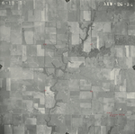
|
|
GS-AXW-2G-35
37.411439 -94.887682 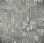
|
GS-AXW-2G-36
37.425849 -94.887628 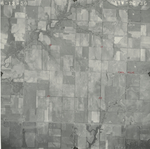
|
GS-AXW-2G-37
37.440262 -94.887856 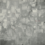
|
GS-AXW-2G-38
37.455524 -94.888459 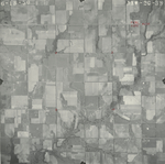
|
GS-AXW-2G-39
37.470598 -94.887932 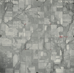
|
GS-AXW-2G-40
37.484599 -94.888284 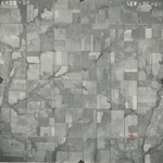
|
|
GS-AXW-2G-41
37.498995 -94.888579 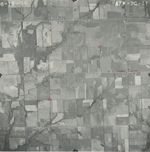
|
GS-AXW-2G-42
37.514282 -94.88798 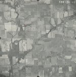
|
GS-AXW-2G-43
37.528943 -94.888164 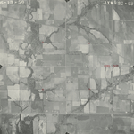
|
GS-AXW-2G-44
37.543425 -94.888577 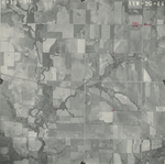
|
GS-AXW-2G-45
37.558088 -94.8884 
|
GS-AXW-2G-46
37.572514 -94.888818 
|
|
GS-AXW-2G-47
37.586613 -94.887626 
|
GS-AXW-2G-48
37.601746 -94.886728 
|
GS-AXW-2G-49
37.616297 -94.888523 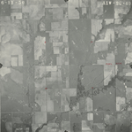
|
GS-AXW-2G-50
37.631502 -94.888769 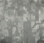
|
GS-AXW-2G-51
37.645585 -94.886016 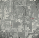
|
GS-AXW-2G-52
37.659097 -94.887499 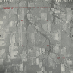
|
|
GS-AXW-2G-53
37.674195 -94.887609 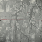
|