| Folder No. | County Name City |
Scanning | TSR | Quadrangle | Lat/Long | Project | Dates | Miscellaneous | Range of sheets | No. of sheets |
Cabinet | Notes |
|---|---|---|---|---|---|---|---|---|---|---|---|---|
|
Sheet 1, No. 650
View |
Crawford, Bourbon, Cherokee
Hepler |
Scanned
(25 online) |
T. 27-31 S., R. 22-23 E. |
37.49989
-94.960186 |
GS-AXW | 6-13-1950 | 2G-95 to 2G-95 | 25 | 13 | Flight strip #4 |
Click on any thumbnail to view a larger photo.
|
GS-AXW-2G-95
37.323281 -94.960711 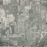
|
GS-AXW-2G-96
37.338969 -94.961072 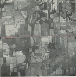
|
GS-AXW-2G-97
37.353495 -94.960115 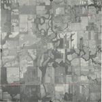
|
GS-AXW-2G-98
37.368537 -94.959457 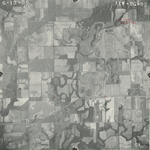
|
GS-AXW-2G-99
37.382805 -94.960056 
|
GS-AXW-2G-100
37.397138 -94.961883 
|
|
GS-AXW-2G-101
37.412505 -94.960858 
|
GS-AXW-2G-102
37.426016 -94.962031 
|
GS-AXW-2G-103
37.440625 -94.961883 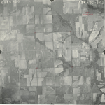
|
GS-AXW-2G-104
37.456401 -94.960561 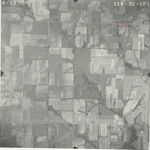
|
GS-AXW-2G-105
37.471532 -94.96049 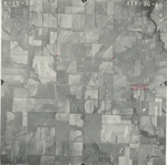
|
GS-AXW-2G-106
37.486355 -94.961664 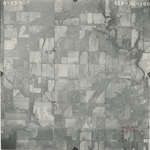
|
|
GS-AXW-2G-107
37.500196 -94.961737 
|
GS-AXW-2G-108
37.515495 -94.96071 
|
GS-AXW-2G-109
37.53015 -94.960857 
|
GS-AXW-2G-110
37.544786 -94.960565 
|
GS-AXW-2G-111
37.55913 -94.9591 
|
GS-AXW-2G-112
37.573374 -94.958734 
|
|
GS-AXW-2G-113
37.586219 -94.959247 
|
GS-AXW-2G-114
37.60308 -94.958954 
|
GS-AXW-2G-115
37.616524 -94.95844 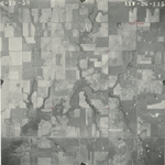
|
GS-AXW-2G-116
37.630657 -94.958733 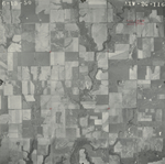
|
GS-AXW-2G-117
37.645593 -94.95888 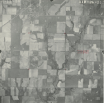
|
GS-AXW-2G-118
37.660367 -94.959027 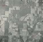
|
|
GS-AXW-2G-119
37.674019 -94.958881 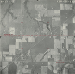
|