| Folder No. | County Name City |
Scanning | TSR | Quadrangle | Lat/Long | Project | Dates | Miscellaneous | Range of sheets | No. of sheets |
Cabinet | Notes |
|---|---|---|---|---|---|---|---|---|---|---|---|---|
|
Sheet 1, No. 673
View |
Crawford
Brazilton, Girard |
Scanned
(15 online) |
T. 28-29 S., R. 22-24 E. | Girard SW |
37.575067
-94.866565 |
NO | 5-17-1972 | 25- 25, 31 to 36, 39, 41,43, 97,101, 27- 95, 99, 101 | 15 | 13 | Missing several photos |
Click on any thumbnail to view a larger photo.
|
NO-25-25
37.612863 -94.999385 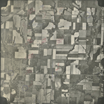
|
NO-25-31
37.610645 -94.841245 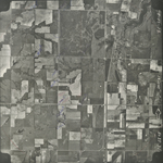
|
NO-25-32
37.612111 -94.816707 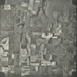
|
NO-25-33
37.61192 -94.794261 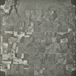
|
NO-25-34
37.61103 -94.76711 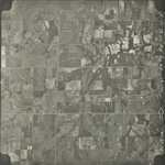
|
NO-25-35
37.579596 -94.769092 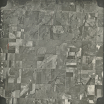
|
|
NO-25-36
37.579278 -94.796744 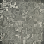
|
NO-25-39
37.579728 -94.869345 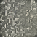
|
NO-25-41
37.580748 -94.925994 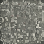
|
NO-25-43
37.580238 -94.97913 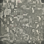
|
NO-25-97
37.515268 -94.816413 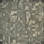
|
NO-25-101
37.515387 -94.923268 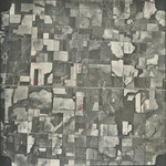
|
|
NO-27-95
37.544003 -94.807686 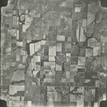
|
NO-27-99
37.546628 -94.916108 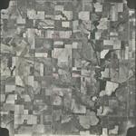
|
NO-27-101
37.546561 -94.975992 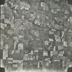
|