| Folder No. | County Name City |
Scanning | TSR | Quadrangle | Lat/Long | Project | Dates | Miscellaneous | Range of sheets | No. of sheets |
Cabinet | Notes |
|---|---|---|---|---|---|---|---|---|---|---|---|---|
|
Sheet 1, No. 675
View |
Crawford
Grindstone Creek, Cherokee |
Scanned
(26 online) |
T. 29-31 S., R. 22-24 E. | Grindstone Creek, West Mineral, Radley, Cherokee |
37.413163
-94.862735 |
NO | 5-17-1972 | 25-156, 155, 153, 151, 23 to 29 odd, 30, 39, 37, 33, 32, 31, 89, 93, 91, 94 to 100, 103,104 | 26 | 13 |
Click on any thumbnail to view a larger photo.
|
NO-25-151
37.482202 -94.933394 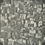
|
NO-25-153
37.480604 -94.880664 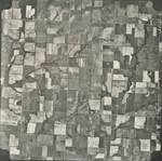
|
NO-25-155
37.480487 -94.829597 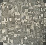
|
NO-25-156
37.47928 -94.80123 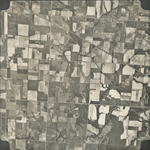
|
NO-26-23
37.455166 -94.995729 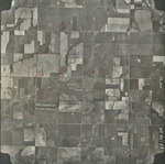
|
NO-26-25
37.450981 -94.944353 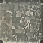
|
|
NO-26-27
37.452206 -94.895188 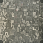
|
NO-26-29
37.450858 -94.841104 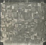
|
NO-26-30
37.450407 -94.818987 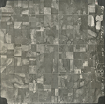
|
NO-26-31
37.42055 -94.765061 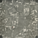
|
NO-26-32
37.420359 -94.796366 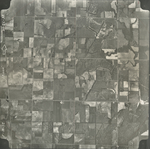
|
NO-26-33
37.420421 -94.821381 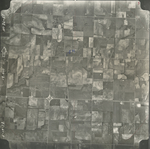
|
|
NO-26-37
37.419821 -94.924421 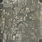
|
NO-26-39
37.420428 -94.978203 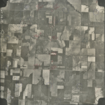
|
NO-26-89
37.38778 -94.951568 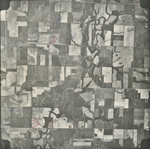
|
NO-26-91
37.387399 -94.896543 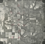
|
NO-26-93
37.384882 -94.843628 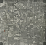
|
NO-26-94
37.382434 -94.822028 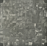
|
|
NO-26-95
37.382425 -94.796217 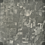
|
NO-26-96
37.387124 -94.769406 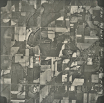
|
NO-26-97
37.358105 -94.774758 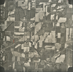
|
NO-26-98
37.356129 -94.798817 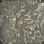
|
NO-26-99
37.353835 -94.824528 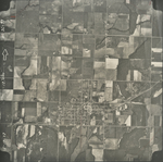
|
NO-26-100
37.354739 -94.84826 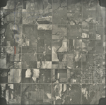
|
|
NO-26-103
37.361834 -94.927545 
|
NO-26-104
37.361769 -94.95212 
|