| Folder No. | County Name City |
Scanning | TSR | Quadrangle | Lat/Long | Project | Dates | Miscellaneous | Range of sheets | No. of sheets |
Cabinet | Notes |
|---|---|---|---|---|---|---|---|---|---|---|---|---|
|
Sheet 1, No. 678
View |
Cherokee, Labette, Neosho, Crawford
McCune |
Scanned
(13 online) |
T. 30-31 S. R. 21-22 E. | McCune |
37.399425
-95.05639 |
NO | 5-17-1972, 5-19-1972 | 25-147, 26-19, 26-21, 26-41, 26-43, 26-83, 26-85, 26-87, 26-106 to 110 | 13 | 13 | Part 2 of 2 |
Click on any thumbnail to view a larger photo.
|
NO-25-147
37.481265 -95.040967 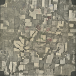
|
NO-26-19
37.45211 -95.095759 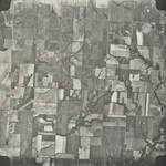
|
NO-26-21
37.451838 -95.044332 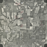
|
NO-26-41
37.420292 -95.027511 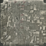
|
NO-26-43
37.420821 -95.081887 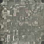
|
NO-26-83
37.389875 -95.103328 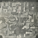
|
|
NO-26-85
37.389118 -95.051984 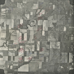
|
NO-26-87
37.389383 -94.999033 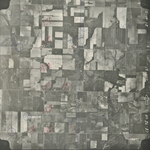
|
NO-26-106
37.360272 -95.004495 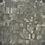
|
NO-26-107
37.360379 -95.031692 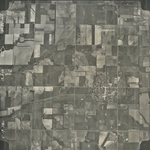
|
NO-26-108
37.358504 -95.05842 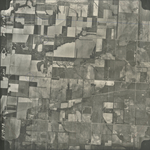
|
NO-26-109
37.358502 -95.085171 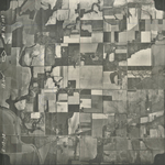
|
|
NO-26-110
37.360167 -95.108494 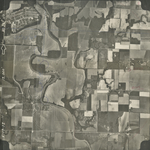
|