| Folder No. | County Name City |
Scanning | TSR | Quadrangle | Lat/Long | Project | Dates | Miscellaneous | Range of sheets | No. of sheets |
Cabinet | Notes |
|---|---|---|---|---|---|---|---|---|---|---|---|---|
|
Sheet 1, No. 679
View |
Crawford, Labette, Cherokee
McCune |
Scanned
(17 online) |
T. 31-32 S., 21-22 E. | McCune SE |
37.313111
-95.058359 |
GS-VDCQ | 1-24-1973, 2-9-1973 | 4-13, 15, 17; 3-9, 11, 13; 3-63, 65, 67, 69; 3-87, 89, 91; 2-103, 105, 107 | 17 | 13 | Overlaps range/series and includes copies of 680 |
Click on any thumbnail to view a larger photo.
|
GS-VDCQ-2-103
37.263319 -95.090439 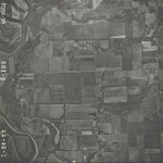
|
GS-VDCQ-2-105
37.26485 -95.053629 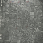
|
GS-VDCQ-2-107
37.264989 -95.016442 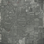
|
GS-VDCQ-3-9
37.286614 -95.008847 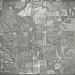
|
GS-VDCQ-3-11
37.288759 -95.045212 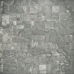
|
GS-VDCQ-3-13
37.289334 -95.081726 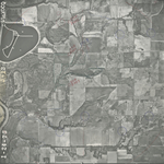
|
|
GS-VDCQ-3-15
37.289858 -95.118765 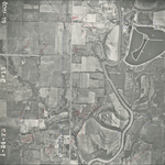
|
GS-VDCQ-3-63
37.31365 -95.106849 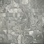
|
GS-VDCQ-3-65
37.314174 -95.072356 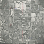
|
GS-VDCQ-3-67
37.31446 -95.035256 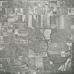
|
GS-VDCQ-3-69
37.313314 -94.998851 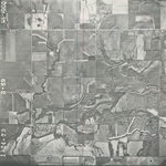
|
GS-VDCQ-3-87
37.338175 -95.00936 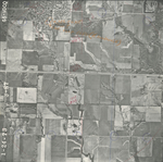
|
|
GS-VDCQ-3-89
37.338326 -95.045505 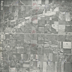
|
GS-VDCQ-3-91
37.339219 -95.082366 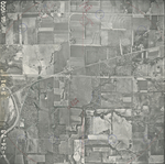
|
GS-VDCQ-4-13
37.367435 -95.039253 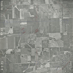
|
GS-VDCQ-4-15
37.368583 -95.074043 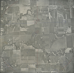
|
GS-VDCQ-4-17
37.367832 -95.113206 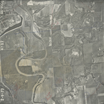
|