37.577671
-95.032955

37.577416
-95.088092

37.544794
-95.020302

37.545913
-95.076035

| Folder No. | County Name City |
Scanning | TSR | Quadrangle | Lat/Long | Project | Dates | Miscellaneous | Range of sheets | No. of sheets |
Cabinet | Notes |
|---|---|---|---|---|---|---|---|---|---|---|---|---|
|
Sheet 1, No. 684
View |
Crawford
Walnut |
Scanned
(4 online) |
T. 28-29 S., R. 21-22 E. | Walnut |
37.561449
-95.054346 |
NO | 5-17-1972, 6-7-1972 | 25-45, 47 and 27-103, 105 | 4 | 14 |
Click on any thumbnail to view a larger photo.
|
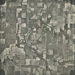
NO-25-45
37.577671 -95.032955 
|
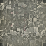
NO-25-47
37.577416 -95.088092 
|
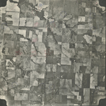
NO-27-103
37.544794 -95.020302 
|
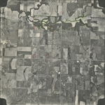
NO-27-105
37.545913 -95.076035 
|