| Folder No. | County Name City |
Scanning | TSR | Quadrangle | Lat/Long | Project | Dates | Miscellaneous | Range of sheets | No. of sheets |
Cabinet | Notes |
|---|---|---|---|---|---|---|---|---|---|---|---|---|
|
Sheet 1, No. 729
View |
Dickinson
No city |
Scanned
(9 online) |
T. 12-13 S., R. 1 E. | Solomon, Holland |
38.919773
-97.334129 |
AYH | 6-24-1938 | Flight Line B | 1-89 to 1-97 | 9 | 14 |
Click on any thumbnail to view a larger photo.
|
AYH-1-89
38.872412 -97.3343 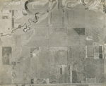
|
AYH-1-90
38.883589 -97.333781 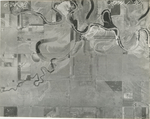
|
AYH-1-91
38.896077 -97.334097 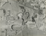
|
AYH-1-92
38.90873 -97.334104 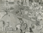
|
AYH-1-93
38.92165 -97.333984 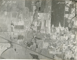
|
AYH-1-94
38.931479 -97.334284 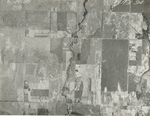
|
|
AYH-1-95
38.942664 -97.334164 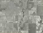
|
AYH-1-96
38.954408 -97.335006 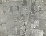
|
AYH-1-97
38.966945 -97.333442 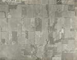
|