| Folder No. | County Name City |
Scanning | TSR | Quadrangle | Lat/Long | Project | Dates | Miscellaneous | Range of sheets | No. of sheets |
Cabinet | Notes |
|---|---|---|---|---|---|---|---|---|---|---|---|---|
|
Sheet 1, No. 730
View |
Dickinson
No city |
Scanned
(6 online) |
T. 13 S., R. 1 E. | Solomon, Holland |
38.917775
-97.296224 |
AAA-AYH | 6-24-1938 - 9:54 | Flight Line C | 2-64 to 2-70 | 6 | 14 |
Click on any thumbnail to view a larger photo.
|
AAA-AYH-2-64
38.952312 -97.296381 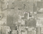
|
AAA-AYH-2-65
38.938976 -97.2959 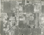
|
AAA-AYH-2-66
38.925156 -97.295559 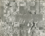
|
AAA-AYH-2-67
38.914217 -97.296922 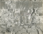
|
AAA-AYH-2-68
38.901857 -97.29608 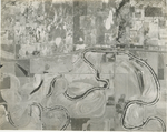
|
AAA-AYH-2-70
38.874134 -97.296501 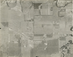
|