| Folder No. | County Name City |
Scanning | TSR | Quadrangle | Lat/Long | Project | Dates | Miscellaneous | Range of sheets | No. of sheets |
Cabinet | Notes |
|---|---|---|---|---|---|---|---|---|---|---|---|---|
|
Sheet 1, No. 798
View |
Doniphan
Troy |
Scanned
(19 online) |
T. 2-3 S., R. 21 E. | Troy |
39.795543
-95.061396 |
GS-CFP | 12-4-1957 and 12-26-1957 | 4F 106-108; 4B 107-109; 1F 70-72; 1B 71-73; 4F 139; 1B 86-88; 1F 85-87 | 19 | 15 |
Click on any thumbnail to view a larger photo.
|
GS-CFP-1B-71
39.764512 -95.059058 
|
GS-CFP-1B-72
39.805452 -95.059406 
|
GS-CFP-1B-73
39.841873 -95.059153 
|
GS-CFP-1B-86
39.837502 -95.10129 
|
GS-CFP-1B-87
39.802881 -95.101089 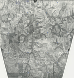
|
GS-CFP-1B-88
39.761825 -95.099792 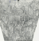
|
|
GS-CFP-1F-70
39.764512 -95.059058 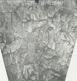
|
GS-CFP-1F-71
39.805452 -95.059406 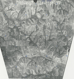
|
GS-CFP-1F-72
39.841873 -95.059153 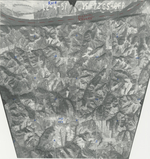
|
GS-CFP-1F-85
39.837502 -95.10129 
|
GS-CFP-1F-86
39.802881 -95.101089 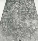
|
GS-CFP-1F-87
39.761825 -95.099792 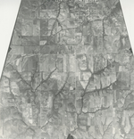
|
|
GS-CFP-4B-107
39.751205 -95.018037 
|
GS-CFP-4B-108
39.791264 -95.017434 
|
GS-CFP-4B-109
39.827591 -95.016964 
|
GS-CFP-4F-106
39.751205 -95.018037 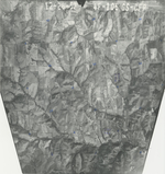
|
GS-CFP-4F-107
39.791264 -95.017434 
|
GS-CFP-4F-108
39.827591 -95.016964 
|
|
GS-CFP-4F-139
39.747109 -95.102076 
|