| Folder No. | County Name City |
Scanning | TSR | Quadrangle | Lat/Long | Project | Dates | Miscellaneous | Range of sheets | No. of sheets |
Cabinet | Notes |
|---|---|---|---|---|---|---|---|---|---|---|---|---|
|
Sheet 1, No. 806
View |
Douglas
Lawrence |
Scanned
(15 online) |
T. 12-13 S., R. 19-20 E. |
38.886766
-95.293653 |
S48 | 9-7-1974 | Flight #3 | 374-111 to 374-125 | 15 | 16 |
Click on any thumbnail to view a larger photo.
|
S48-374-111
39.113226 -95.281559 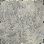
|
S48-374-112
39.085785 -95.276716 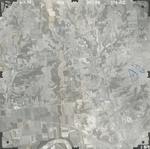
|
S48-374-113
39.054282 -95.284059 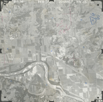
|
S48-374-114
39.020817 -95.286581 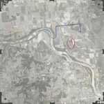
|
S48-374-115
38.987288 -95.293387 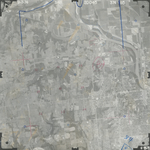
|
S48-374-116
38.954822 -95.296681 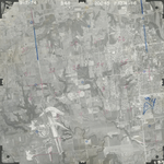
|
|
S48-374-117
38.918442 -95.306092 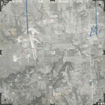
|
S48-374-118
38.882766 -95.302497 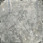
|
S48-374-119
38.853129 -95.298326 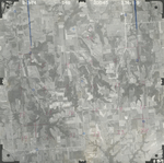
|
S48-374-120
38.818319 -95.297724 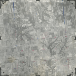
|
S48-374-121
38.786561 -95.294457 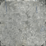
|
S48-374-122
38.754521 -95.296326 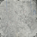
|
|
S48-374-123
38.722012 -95.300237 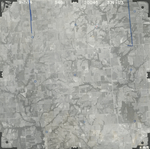
|
S48-374-124
38.690852 -95.29775 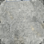
|
S48-374-125
38.658661 -95.292404 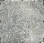
|