| Folder No. | County Name City |
Scanning | TSR | Quadrangle | Lat/Long | Project | Dates | Miscellaneous | Range of sheets | No. of sheets |
Cabinet | Notes |
|---|---|---|---|---|---|---|---|---|---|---|---|---|
|
Sheet 1, No. 807
View |
Douglas
Eudora, De Soto |
Scanned
(13 online) |
T. 13-14 S., R. 20-21 E. |
38.865977
-95.034037 |
S48 | 9-7-1974 | 374-154 to 374-166 | 13 | 16 | 110B L Flight #6 Douglas Co. |
Click on any thumbnail to view a larger photo.
|
S48-374-154
38.665311 -95.039118 
|
S48-374-155
38.696614 -95.038378 
|
S48-374-156
38.731276 -95.032961 
|
S48-374-157
38.764978 -95.03111 
|
S48-374-158
38.797428 -95.037883 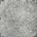
|
S48-374-159
38.831622 -95.038491 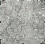
|
|
S48-374-160
38.865766 -95.028975 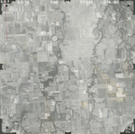
|
S48-374-161
38.899951 -95.03243 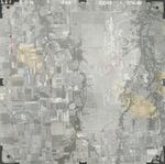
|
S48-374-162
38.935288 -95.033926 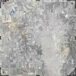
|
S48-374-163
38.968373 -95.028346 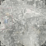
|
S48-374-164
39.002297 -95.035029 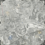
|
S48-374-165
39.033148 -95.033175 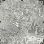
|
|
S48-374-166
39.065649 -95.032657 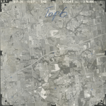
|