| Folder No. | County Name City |
Scanning | TSR | Quadrangle | Lat/Long | Project | Dates | Miscellaneous | Range of sheets | No. of sheets |
Cabinet | Notes |
|---|---|---|---|---|---|---|---|---|---|---|---|---|
|
Sheet 1, No. 808
View |
Douglas
No city |
Scanned
(13 online) |
T. 11-15 S., R. 18-19 E. | Williamstown, Lawrence W, Lone Star, Ottawa N |
38.912463
-95.352761 |
ZK | 9-23-1941 | Elevation = 20000 | 2B-52 to 76 | 13 | 16 | 2K-2B-65 missing; 23-E |
Click on any thumbnail to view a larger photo.
|
ZK-2B-52
39.073379 -95.353807 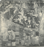
|
ZK-2B-53
39.059218 -95.350485 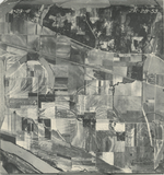
|
ZK-2B-54
39.046546 -95.35056 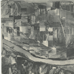
|
ZK-2B-55
39.030532 -95.352448 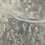
|
ZK-2B-56
39.016435 -95.353235 
|
ZK-2B-57
39.001745 -95.353494 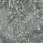
|
|
ZK-2B-58
38.988211 -95.354474 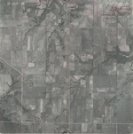
|
ZK-2B-71
38.808043 -95.351522 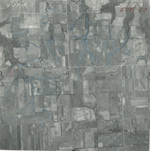
|
ZK-2B-72
38.794202 -95.353241 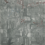
|
ZK-2B-73
38.782324 -95.353127 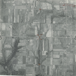
|
ZK-2B-74
38.767854 -95.353069 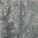
|
ZK-2B-75
38.754676 -95.353241 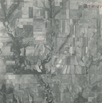
|
|
ZK-2B-76
38.738859 -95.353184 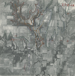
|