| Folder No. | County Name City |
Scanning | TSR | Quadrangle | Lat/Long | Project | Dates | Miscellaneous | Range of sheets | No. of sheets |
Cabinet | Notes |
|---|---|---|---|---|---|---|---|---|---|---|---|---|
|
Sheet 1, No. 810
View |
Douglas
No city |
Scanned
(21 online) |
T. 11-13 S., R. 18-19 E. |
38.891664
-95.316495 |
ZK | 9-23-1941 | 5B-31 to 53 | 22 | 16 | 23-F |
Click on any thumbnail to view a larger photo.
|
ZK-5B-31
38.722439 -95.315338 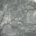
|
ZK-5B-32
38.738785 -95.31446 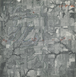
|
ZK-5B-33
38.754464 -95.314789 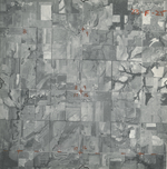
|
ZK-5B-34
38.767783 -95.314715 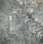
|
ZK-5B-36
38.795298 -95.316403 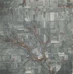
|
ZK-5B-37
38.809819 -95.317359 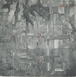
|
|
ZK-5B-39
38.840108 -95.316413 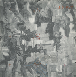
|
ZK-5B-40
38.852709 -95.316521 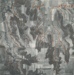
|
ZK-5B-41
38.867265 -95.315859 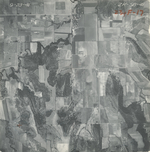
|
ZK-5B-42
38.88204 -95.314509 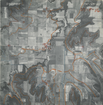
|
ZK-5B-43
38.89881 -95.31673 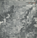
|
ZK-5B-44
38.913061 -95.316596 
|
|
ZK-5B-45
38.927565 -95.316148 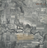
|
ZK-5B-46
38.942361 -95.317873 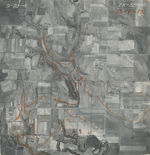
|
ZK-5B-47
38.957001 -95.317754 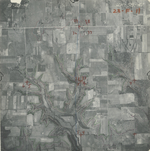
|
ZK-5B-48
38.971593 -95.316361 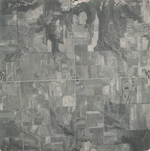
|
ZK-5B-49
38.986738 -95.316621 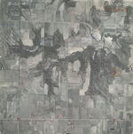
|
ZK-5B-50
39.002224 -95.318465 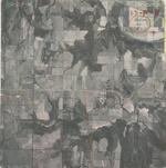
|
|
ZK-5B-51
39.015919 -95.317773 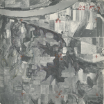
|
ZK-5B-52
39.030869 -95.318121 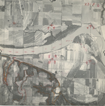
|
ZK-5B-53
39.048089 -95.317582 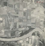
|