| Folder No. | County Name City |
Scanning | TSR | Quadrangle | Lat/Long | Project | Dates | Miscellaneous | Range of sheets | No. of sheets |
Cabinet | Notes |
|---|---|---|---|---|---|---|---|---|---|---|---|---|
|
Sheet 1, No. 811
View |
Douglas
No city |
Scanned
(28 online) |
T. 12-15 S., R. 18-19 E. |
38.905458
-95.500954 |
ZK | 9-23-1941 | 1B-5 to 31 | 28 | 16 | 23-A |
Click on any thumbnail to view a larger photo.
|
ZK-1B-5
39.073697 -95.499656 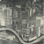
|
ZK-1B-6
39.061481 -95.500164 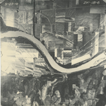
|
ZK-1B-7
39.047327 -95.500311 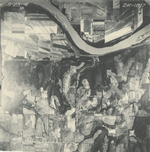
|
ZK-1B-7_2
39.047327 -95.500311 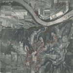
|
ZK-1B-8
39.033691 -95.501477 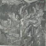
|
ZK-1B-9
39.020471 -95.501414 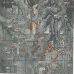
|
|
ZK-1B-10
39.007492 -95.501425 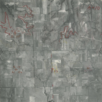
|
ZK-1B-11
38.993191 -95.501031 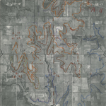
|
ZK-1B-12
38.978201 -95.501713 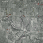
|
ZK-1B-13
38.967408 -95.501518 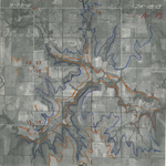
|
ZK-1B-14
38.95282 -95.502237 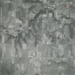
|
ZK-1B-15
38.939609 -95.502497 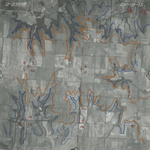
|
|
ZK-1B-16
38.927027 -95.501728 
|
ZK-1B-17
38.914247 -95.50096 
|
ZK-1B-18
38.900609 -95.500884 
|
ZK-1B-19
38.887727 -95.500889 
|
ZK-1B-20
38.872473 -95.500774 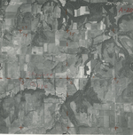
|
ZK-1B-21
38.859874 -95.500767 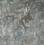
|
|
ZK-1B-22
38.847159 -95.500561 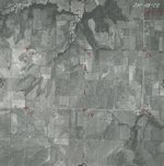
|
ZK-1B-23
38.833115 -95.499044 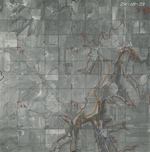
|
ZK-1B-24
38.818568 -95.49954 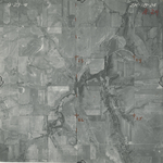
|
ZK-1B-25
38.806302 -95.500763 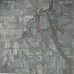
|
ZK-1B-26
38.793591 -95.500849 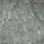
|
ZK-1B-27
38.780844 -95.500915 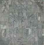
|
|
ZK-1B-28
38.766913 -95.501466 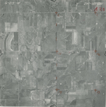
|
ZK-1B-29
38.753363 -95.501528 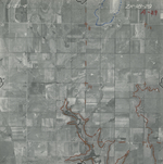
|
ZK-1B-30
38.740422 -95.501199 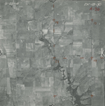
|
ZK-1B-31
38.72787 -95.501093 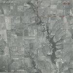
|