| Folder No. | County Name City |
Scanning | TSR | Quadrangle | Lat/Long | Project | Dates | Miscellaneous | Range of sheets | No. of sheets |
Cabinet | Notes |
|---|---|---|---|---|---|---|---|---|---|---|---|---|
|
Sheet 1, No. 812
View |
Douglas
No city |
Scanned
(28 online) |
T. 11-13 S., R. 17-18 E. |
38.917155
-95.462548 |
ZK | 9-23-1941 | Elevation = 20000 | 1B-37 to 61 | 28 | 16 | 23-B |
Click on any thumbnail to view a larger photo.
|
ZK-1B-37
38.728359 -95.466601 
|
ZK-1B-38
38.741267 -95.466412 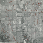
|
ZK-1B-39
38.754461 -95.464779 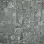
|
ZK-1B-40
38.769715 -95.465233 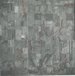
|
ZK-1B-41
38.783353 -95.466737 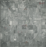
|
ZK-1B-42
38.797591 -95.464907 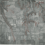
|
|
ZK-1B-43
38.812324 -95.46377 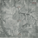
|
ZK-1B-44
38.828334 -95.460931 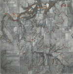
|
ZK-1B-45
38.840452 -95.4636 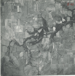
|
ZK-1B-46
38.855201 -95.46266 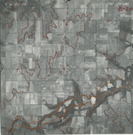
|
ZK-1B-47
38.869701 -95.46186 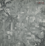
|
ZK-1B-48
38.884268 -95.459904 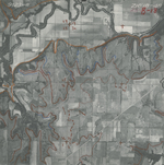
|
|
ZK-1B-49
38.898427 -95.461221 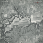
|
ZK-1B-50
38.913218 -95.461369 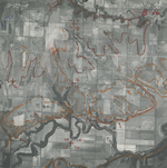
|
ZK-1B-51
38.925997 -95.460569 
|
ZK-1B-52
38.941463 -95.459873 
|
ZK-1B-53
38.955417 -95.459046 
|
ZK-1B-54
38.971225 -95.458385 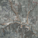
|
|
ZK-1B-55
38.98468 -95.458271 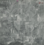
|
ZK-1B-56
38.99993 -95.459049 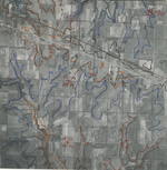
|
ZK-1B-57
39.014641 -95.459241 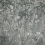
|
ZK-1B-58
39.026216 -95.461702 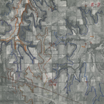
|
ZK-1B-59
39.042015 -95.462898 
|
ZK-1B-60
39.058119 -95.464644 
|
|
ZK-1B-60_2
39.058119 -95.464644 
|
ZK-1B-61
39.070289 -95.464134 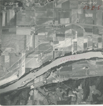
|
ZK-1B-61_2
39.070289 -95.464134 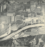
|
ZK-1B-62
39.085258 -95.464769 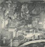
|