| Folder No. | County Name City |
Scanning | TSR | Quadrangle | Lat/Long | Project | Dates | Miscellaneous | Range of sheets | No. of sheets |
Cabinet | Notes |
|---|---|---|---|---|---|---|---|---|---|---|---|---|
|
Sheet 1, No. 813
View |
Douglas
No city |
Scanned
(27 online) |
T. 11-13 S., R. 17-19 E. |
38.916976
-95.429487 |
ZK | 9-23-1941 | Elevation = 20000 | 1B-69 to 79; 2B-2 to 16 | 27 | 16 | 23-C |
Click on any thumbnail to view a larger photo.
|
ZK-1B-65
39.087771 -95.430227 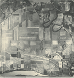
|
ZK-1B-70
39.072957 -95.4298 
|
ZK-1B-71
39.060196 -95.430422 
|
ZK-1B-71_2
39.060196 -95.430422 
|
ZK-1B-72
39.044628 -95.432245 
|
ZK-1B-73
39.030815 -95.432243 
|
|
ZK-1B-74
39.017589 -95.430618 
|
ZK-1B-75
39.001957 -95.431172 
|
ZK-1B-76
38.987807 -95.428505 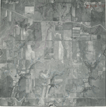
|
ZK-1B-77
38.974944 -95.428315 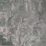
|
ZK-1B-78
38.96098 -95.428112 
|
ZK-1B-79
38.947168 -95.427915 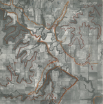
|
|
ZK-2B-2
38.930983 -95.428014 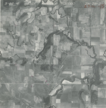
|
ZK-2B-3
38.916943 -95.42843 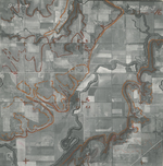
|
ZK-2B-4
38.902509 -95.428608 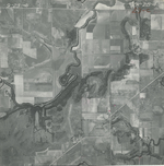
|
ZK-2B-5
38.88789 -95.428113 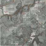
|
ZK-2B-6
38.877542 -95.428034 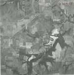
|
ZK-2B-7
38.862524 -95.427998 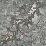
|
|
ZK-2B-8
38.849671 -95.427823 
|
ZK-2B-9
38.835675 -95.429233 
|
ZK-2B-10
38.821684 -95.430012 
|
ZK-2B-11
38.80824 -95.43018 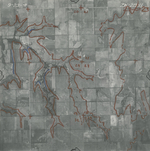
|
ZK-2B-12
38.780412 -95.430484 
|
ZK-2B-13
38.780412 -95.430484 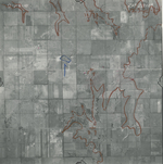
|
|
ZK-2B-14
38.766402 -95.430828 
|
ZK-2B-15
38.751466 -95.430593 
|
ZK-2B-16
38.738998 -95.42733 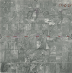
|