| Folder No. | County Name City |
Scanning | TSR | Quadrangle | Lat/Long | Project | Dates | Miscellaneous | Range of sheets | No. of sheets |
Cabinet | Notes |
|---|---|---|---|---|---|---|---|---|---|---|---|---|
|
Sheet 1, No. 816
View |
Douglas
Lawrence North |
Scanned
(31 online) |
T. 15 S., R. 19 E. | SE 1/4 |
38.871191
-95.264157 |
ZK | 9-23-1941 | Elevation = 20000 | 2B-81 to 94; 3B-3 to 13 | 26 | 16 | 23-H; 2K-3B-6 and 7 missing; Geo Allen SE 1/4 Sec 24 |
Click on any thumbnail to view a larger photo.
|
ZK-2B-64
38.905873 -95.353964 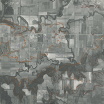
|
ZK-2B-66
38.878622 -95.353834 
|
ZK-2B-67
38.865829 -95.354711 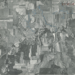
|
ZK-2B-68
38.851194 -95.35597 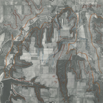
|
ZK-2B-69
38.837103 -95.356042 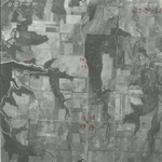
|
ZK-2B-70
38.82328 -95.355711 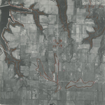
|
|
ZK-2B-81
38.711089 -95.242429 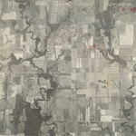
|
ZK-2B-82
38.72416 -95.241958 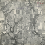
|
ZK-2B-83
38.738973 -95.243053 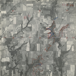
|
ZK-2B-84
38.753455 -95.241966 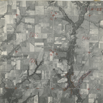
|
ZK-2B-85
38.766395 -95.241966 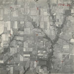
|
ZK-2B-86
38.780706 -95.242657 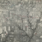
|
|
ZK-2B-87
38.796938 -95.242668 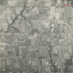
|
ZK-2B-88
38.808985 -95.242297 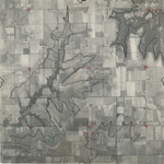
|
ZK-2B-89
38.823044 -95.241846 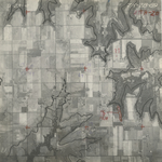
|
ZK-2B-90
38.835608 -95.242792 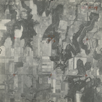
|
ZK-2B-91
38.849024 -95.245361 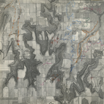
|
ZK-2B-92
38.863868 -95.246013 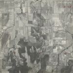
|
|
ZK-2B-93
38.879373 -95.244785 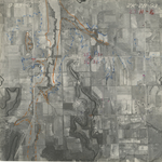
|
ZK-2B-94
38.892775 -95.24564 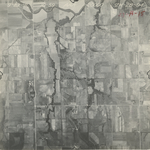
|
ZK-3B-3
38.895339 -95.242228 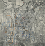
|
ZK-3B-4
38.908618 -95.242828 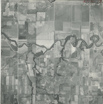
|
ZK-3B-5
38.922608 -95.242268 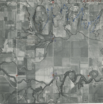
|
ZK-3B-6
38.937235 -95.241865 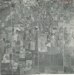
|
|
ZK-3B-7
38.951636 -95.24071 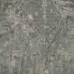
|
ZK-3B-8
38.965756 -95.240161 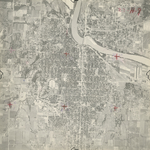
|
ZK-3B-9
38.978937 -95.24099 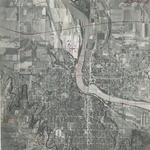
|
ZK-3B-10
38.992569 -95.241822 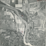
|
ZK-3B-11
39.007861 -95.239172 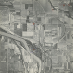
|
ZK-3B-12
39.022327 -95.240749 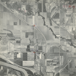
|
|
ZK-3B-13
39.037752 -95.240409 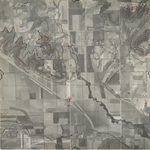
|