| Folder No. | County Name City |
Scanning | TSR | Quadrangle | Lat/Long | Project | Dates | Miscellaneous | Range of sheets | No. of sheets |
Cabinet | Notes |
|---|---|---|---|---|---|---|---|---|---|---|---|---|
|
Sheet 1, No. 817
View |
Douglas
Lawrence |
Scanned
(23 online) |
T. 12-13 S., R. 19-20 E. |
38.878904
-95.206995 |
ZK | 9-23-1941 | 3B-12 to 15, 3 to 5; 5B-12 to 13; 3B-34 to 37; 3B-67 to 69 | 23 | 16 | 23-I |
Click on any thumbnail to view a larger photo.
|
ZK-3B-27
39.036825 -95.206428 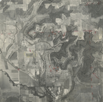
|
ZK-3B-28
39.022855 -95.207347 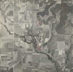
|
ZK-3B-29
39.006767 -95.205488 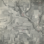
|
ZK-3B-30
38.994755 -95.205358 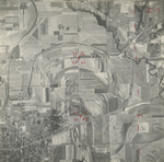
|
ZK-3B-31
38.981432 -95.20521 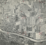
|
ZK-3B-32
38.966993 -95.204991 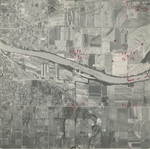
|
|
ZK-3B-33
38.950858 -95.207322 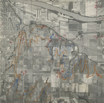
|
ZK-3B-34
38.936222 -95.207467 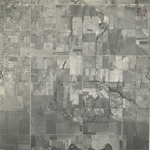
|
ZK-3B-35
38.923035 -95.206607 
|
ZK-3B-36
38.909901 -95.206604 
|
ZK-3B-37
38.89458 -95.206962 
|
ZK-3B-38
38.880762 -95.2069 
|
|
ZK-3B-39
38.867255 -95.207816 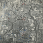
|
ZK-3B-40
38.853112 -95.207761 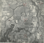
|
ZK-3B-41
38.840405 -95.208042 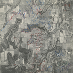
|
ZK-3B-42
38.827039 -95.207692 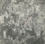
|
ZK-3B-43
38.813628 -95.205352 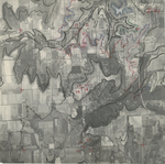
|
ZK-3B-45
38.786092 -95.20913 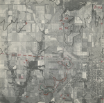
|
|
ZK-3B-46
38.771677 -95.208158 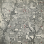
|
ZK-3B-47
38.758498 -95.208634 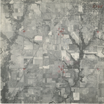
|
ZK-3B-48
38.745681 -95.209335 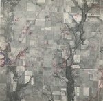
|
ZK-3B-49
38.731439 -95.207232 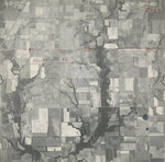
|
ZK-3B-50
38.714989 -95.205051 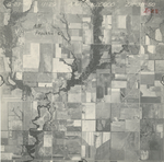
|