| Folder No. | County Name City |
Scanning | TSR | Quadrangle | Lat/Long | Project | Dates | Miscellaneous | Range of sheets | No. of sheets |
Cabinet | Notes |
|---|---|---|---|---|---|---|---|---|---|---|---|---|
|
Sheet 1, No. 822
View |
Douglas
Baldwin City |
Scanned
(45 online) |
T. 14-15 S., R. 20-21 E. | Baldwin City, Lone Star |
38.807788
-95.196568 |
GS-EB | 9-11-1948, 12-19-1947, 9-13-1948, and 8-24-1948 | Flights 1, 2, 3, 4, 5, and 6 | 38-43; 131-137; 103-111; 212-220; 57-63; 9-15 | 45 | 16 |
Click on any thumbnail to view a larger photo.
|
GS-EB-1-53
38.796924 -95.283641 
|
GS-EB-3-57
38.778052 -95.243423 
|
GS-EB-3-58
38.778084 -95.225035 
|
GS-EB-3-59
38.778626 -95.207098 
|
GS-EB-3-60
38.7786 -95.188363 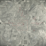
|
GS-EB-3-61
38.779309 -95.171138 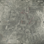
|
|
GS-EB-3-62
38.779076 -95.153045 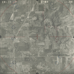
|
GS-EB-3-63
38.779117 -95.134702 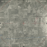
|
GS-EB-12-9
38.753853 -95.24616 
|
GS-EB-12-10
38.754548 -95.226139 
|
GS-EB-12-11
38.754711 -95.209211 
|
GS-EB-12-12
38.755038 -95.191235 
|
|
GS-EB-12-13
38.754793 -95.173521 
|
GS-EB-12-14
38.754997 -95.156383 
|
GS-EB-12-15
38.754752 -95.137935 
|
GS-EB-12-25
38.819974 -95.280601 
|
GS-EB-18-38
38.862895 -95.139273 
|
GS-EB-18-39
38.863055 -95.157591 
|
|
GS-EB-18-40
38.863214 -95.176217 
|
GS-EB-18-41
38.863254 -95.195047 
|
GS-EB-18-42
38.863134 -95.214644 
|
GS-EB-18-43
38.862656 -95.233321 
|
GS-EB-18-131
38.841417 -95.241917 
|
GS-EB-18-132
38.841457 -95.223599 
|
|
GS-EB-18-133
38.841457 -95.205792 
|
GS-EB-18-134
38.841457 -95.187115 
|
GS-EB-18-135
38.841178 -95.168285 
|
GS-EB-18-136
38.841497 -95.149199 
|
GS-EB-18-137
38.840899 -95.130881 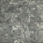
|
GS-EB-18-212
38.797518 -95.138747 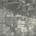
|
|
GS-EB-18-213
38.798046 -95.157287 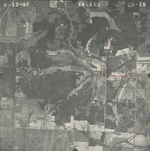
|
GS-EB-18-214
38.796386 -95.176215 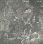
|
GS-EB-18-215
38.796537 -95.194804 
|
GS-EB-18-216
38.796424 -95.212666 
|
GS-EB-18-217
38.797405 -95.231304 
|
GS-EB-18-218
38.796764 -95.248005 
|
|
GS-EB-18-219
38.796764 -95.267658 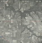
|
GS-EB-19-104
38.820001 -95.261753 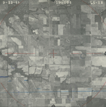
|
GS-EB-19-105
38.819774 -95.242825 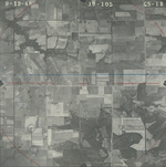
|
GS-EB-19-106
38.81985 -95.2238 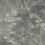
|
GS-EB-19-107
38.819095 -95.205502 
|
GS-EB-19-108
38.819171 -95.187494 
|
|
GS-EB-19-109
38.819737 -95.167743 
|
GS-EB-19-110
38.81951 -95.1493 
|
GS-EB-19-111
38.819473 -95.129936 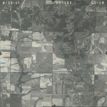
|