| Folder No. | County Name City |
Scanning | TSR | Quadrangle | Lat/Long | Project | Dates | Miscellaneous | Range of sheets | No. of sheets |
Cabinet | Notes |
|---|---|---|---|---|---|---|---|---|---|---|---|---|
|
Sheet 1, No. 824
View |
Douglas, Johnson
Edgerton |
Scanned
(41 online) |
T. 14-15 S., R. 21-22 E. | Edgerton |
38.80963
-95.060808 |
GS-EB | 9-11-1948, 9-13-1948, 12-19-1947, and 8-24-1948 | Flights 1, 2, 3, 4, 5, and 6 | 31-37; 138-144; 112-118; 205-211; 64-70; 16-22 | 41 | 16 |
Click on any thumbnail to view a larger photo.
|
GS-EB-3-64
38.777752 -95.116058 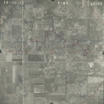
|
GS-EB-3-65
38.777637 -95.097652 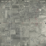
|
GS-EB-3-66
38.777217 -95.079491 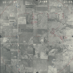
|
GS-EB-3-67
38.777408 -95.061576 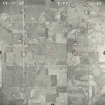
|
GS-EB-3-68
38.777446 -95.044004 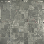
|
GS-EB-3-69
38.776375 -95.026138 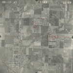
|
|
GS-EB-3-70
38.777025 -95.008615 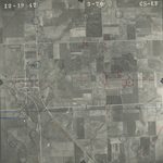
|
GS-EB-12-17
38.755093 -95.104183 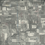
|
GS-EB-12-18
38.754748 -95.086562 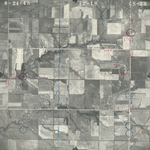
|
GS-EB-12-19
38.754748 -95.067518 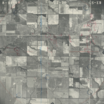
|
GS-EB-12-20
38.755743 -95.048768 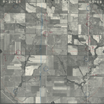
|
GS-EB-12-21
38.75582 -95.030362 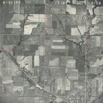
|
|
GS-EB-12-22
38.756241 -95.012299 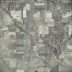
|
GS-EB-18-31
38.862058 -95.010149 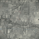
|
GS-EB-18-32
38.862022 -95.027912 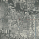
|
GS-EB-18-33
38.862384 -95.04614 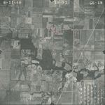
|
GS-EB-18-34
38.862601 -95.064926 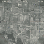
|
GS-EB-18-35
38.862601 -95.083479 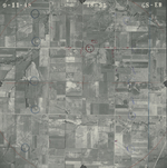
|
|
GS-EB-18-36
38.862855 -95.10259 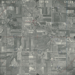
|
GS-EB-18-37
38.862493 -95.120864 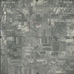
|
GS-EB-18-138
38.840815 -95.111879 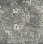
|
GS-EB-18-139
38.840419 -95.0945 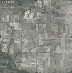
|
GS-EB-18-140
38.83998 -95.075541 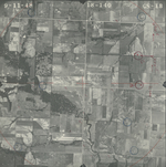
|
GS-EB-18-141
38.839936 -95.056865 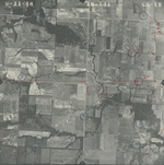
|
|
GS-EB-18-142
38.839848 -95.038696 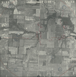
|
GS-EB-18-143
38.839848 -95.019963 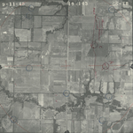
|
GS-EB-18-144
38.839848 -95.002189 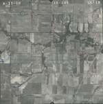
|
GS-EB-18-205
38.796171 -95.010431 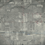
|
GS-EB-18-206
38.796635 -95.027048 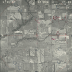
|
GS-EB-18-207
38.796171 -95.046317 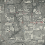
|
|
GS-EB-18-208
38.79655 -95.064666 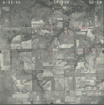
|
GS-EB-18-209
38.796466 -95.083177 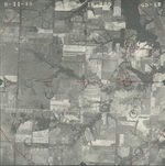
|
GS-EB-18-210
38.79693 -95.101634 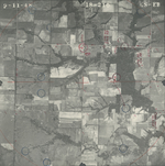
|
GS-EB-18-211
38.797099 -95.121444 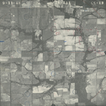
|
GS-EB-19-112
38.818401 -95.111889 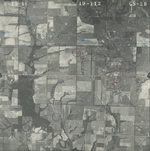
|
GS-EB-19-113
38.81878 -95.094352 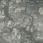
|
|
GS-EB-19-114
38.818359 -95.075354 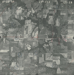
|
GS-EB-19-115
38.81819 -95.057059 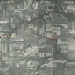
|
GS-EB-19-116
38.817895 -95.038754 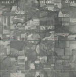
|
GS-EB-19-117
38.818124 -95.019759 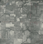
|
GS-EB-19-118
38.818086 -95.002335 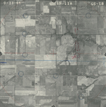
|