| Folder No. | County Name City |
Scanning | TSR | Quadrangle | Lat/Long | Project | Dates | Miscellaneous | Range of sheets | No. of sheets |
Cabinet | Notes |
|---|---|---|---|---|---|---|---|---|---|---|---|---|
|
Sheet 1, No. 825
View |
Douglas, Johnson
Eudora, Linwood, De Soto |
Scanned
(47 online) |
T. 12-13 S., R. 21-22 E. | Eudora, De Soto |
38.940403
-95.05569 |
GS-EB | 9-9-1948, 9-11-1948, 9-10-1948, and 10-19-1948 | 15- 112-118; 151-160; 136-142; 79-85; 187-193; 98-106 | 47 | 16 | 2 Supp. Cant. Bks.; 1 - Beaman Alidade Record of field check points |
Click on any thumbnail to view a larger photo.
|
GS-EB-15-112
38.99171 -95.117528 
|
GS-EB-15-113
38.991579 -95.100483 
|
GS-EB-15-115
38.989494 -95.064773 
|
GS-EB-15-116
38.992154 -95.047879 
|
GS-EB-15-117
38.992371 -95.028431 
|
GS-EB-15-118
38.992632 -95.011554 
|
|
GS-EB-15-151
38.970585 -94.967309 
|
GS-EB-15-152
38.971063 -94.984354 
|
GS-EB-15-153
38.971845 -95.001623 
|
GS-EB-15-154
38.972019 -95.019394 
|
GS-EB-15-154_2
38.992549 -95.082776 
|
GS-EB-15-155
38.971494 -95.036146 
|
|
GS-EB-15-156
38.971801 -95.054708 
|
GS-EB-15-157
38.971801 -95.072058 
|
GS-EB-15-158
38.97184 -95.090677 
|
GS-EB-15-159
38.97184 -95.108534 
|
GS-EB-15-160
38.972234 -95.127101 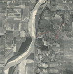
|
GS-EB-16-136
38.925976 -95.121222 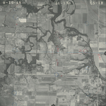
|
|
GS-EB-16-137
38.926015 -95.102857 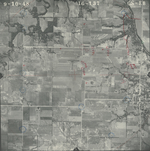
|
GS-EB-16-138
38.926094 -95.084543 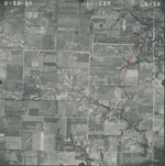
|
GS-EB-16-139
38.92641 -95.066534 
|
GS-EB-16-140
38.926331 -95.048068 
|
GS-EB-16-141
38.92566 -95.029601 
|
GS-EB-16-142
38.925779 -95.009969 
|
|
GS-EB-17-79
38.906161 -95.009664 
|
GS-EB-17-80
38.906161 -95.029855 
|
GS-EB-17-81
38.904937 -95.046749 
|
GS-EB-17-82
38.905727 -95.064149 
|
GS-EB-17-83
38.905095 -95.081195 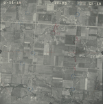
|
GS-EB-17-84
38.905134 -95.098951 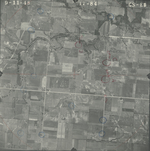
|
|
GS-EB-17-85
38.906082 -95.117721 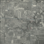
|
GS-EB-17-187
38.884042 -95.113304 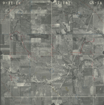
|
GS-EB-17-188
38.883805 -95.093824 
|
GS-EB-17-189
38.883963 -95.075814 
|
GS-EB-17-190
38.884319 -95.057348 
|
GS-EB-17-191
38.884279 -95.039389 
|
|
GS-EB-17-192
38.883647 -95.019503 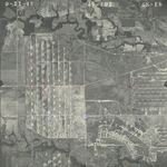
|
GS-EB-17-193
38.883884 -95.001088 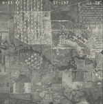
|
GS-EB-21-98
38.947569 -94.971268 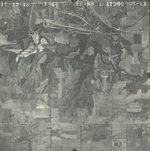
|
GS-EB-21-99
38.947451 -94.989125 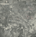
|
GS-EB-21-100
38.947372 -95.007287 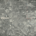
|
GS-EB-21-101
38.947135 -95.025347 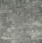
|
|
GS-EB-21-102
38.947648 -95.043813 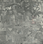
|
GS-EB-21-103
38.947964 -95.061163 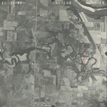
|
GS-EB-21-104
38.948201 -95.079832 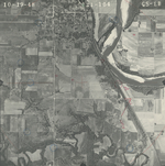
|
GS-EB-21-105
38.948003 -95.096979 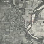
|
GS-EB-21-106
38.949069 -95.115953 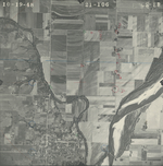
|