| Folder No. | County Name City |
Scanning | TSR | Quadrangle | Lat/Long | Project | Dates | Miscellaneous | Range of sheets | No. of sheets |
Cabinet | Notes |
|---|---|---|---|---|---|---|---|---|---|---|---|---|
|
Sheet 1, No. 832
View |
Douglas
No city |
Scanned
(41 online) |
T. 14-15 S., R. 17-18 E. | Globe, Lone Star |
38.802979
-95.443929 |
GS-EB | 12-19-1947, 9-25-1948, 9-13-1948, 9-11-1948 | Flight 1-6 Code 544818 | 4-79 to 71, 3-43 to 49, 19-193 to 200, 19-66 to 71, 18-122 to 118, 18-52 to 57 | 41 | 16 |
Click on any thumbnail to view a larger photo.
|
GS-EB-3-43
38.777847 -95.495662 
|
GS-EB-3-44
38.778131 -95.478263 
|
GS-EB-3-45
38.778131 -95.460682 
|
GS-EB-3-46
38.77742 -95.442188 
|
GS-EB-3-47
38.77735 -95.424523 
|
GS-EB-3-48
38.77697 -95.406637 
|
|
GS-EB-3-49
38.776139 -95.3892 
|
GS-EB-4-71
38.757056 -95.356965 
|
GS-EB-4-72
38.756677 -95.373634 
|
GS-EB-4-73
38.755482 -95.39294 
|
GS-EB-4-74
38.75576 -95.410833 
|
GS-EB-4-75
38.757385 -95.428472 
|
|
GS-EB-4-76
38.757623 -95.445349 
|
GS-EB-4-77
38.758217 -95.463801 
|
GS-EB-4-78
38.757979 -95.482051 
|
GS-EB-4-79
38.758217 -95.500147 
|
GS-EB-18-52
38.862748 -95.399271 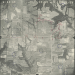
|
GS-EB-18-53
38.8624 -95.417661 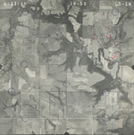
|
|
GS-EB-18-54
38.862531 -95.436833 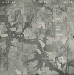
|
GS-EB-18-55
38.862487 -95.455223 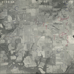
|
GS-EB-18-56
38.862444 -95.472327 
|
GS-EB-18-57
38.862139 -95.490661 
|
GS-EB-18-118
38.840507 -95.480115 
|
GS-EB-18-119
38.840594 -95.462731 
|
|
GS-EB-18-120
38.840681 -95.444006 
|
GS-EB-18-121
38.84055 -95.425728 
|
GS-EB-18-122
38.840942 -95.40745 
|
GS-EB-19-66
38.818775 -95.394959 
|
GS-EB-19-67
38.818688 -95.415362 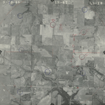
|
GS-EB-19-68
38.819472 -95.436043 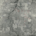
|
|
GS-EB-19-69
38.819123 -95.454433 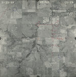
|
GS-EB-19-70
38.819341 -95.471873 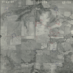
|
GS-EB-19-71
38.819341 -95.490933 
|
GS-EB-19-193
38.797032 -95.398596 
|
GS-EB-19-194
38.796553 -95.416483 
|
GS-EB-19-195
38.796291 -95.434817 
|
|
GS-EB-19-196
38.796988 -95.453206 
|
GS-EB-19-197
38.796335 -95.470087 
|
GS-EB-19-198
38.796291 -95.488645 
|
GS-EB-19-199
38.796727 -95.50709 
|
GS-EB-19-200
38.796771 -95.525201 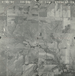
|