| Folder No. | County Name City |
Scanning | TSR | Quadrangle | Lat/Long | Project | Dates | Miscellaneous | Range of sheets | No. of sheets |
Cabinet | Notes |
|---|---|---|---|---|---|---|---|---|---|---|---|---|
|
Sheet 1, No. 833
View |
Douglas
Lawrence |
Scanned
(42 online) |
T. 12-13 S., R. 19-20 E. | Lawrence E, Lawrence W |
38.938236
-95.194568 |
GS-EB | 9-10-1948, 10-19-1948, 9-9-1948, 9-11-1948 | Flight 1-6 | 16-130 to 135, 1-105 to 111, 15-161 to 167, 21- 107 to 115, 17- 86 to 92, 17- 180 to 186 | 39 | 16 | Some sort of code written on the back of all of the photos |
Click on any thumbnail to view a larger photo.
|
GS-EB-15-105
38.990828 -95.244542 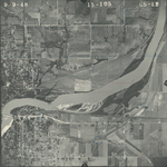
|
GS-EB-15-106
38.990986 -95.225072 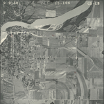
|
GS-EB-15-107
38.990749 -95.206722 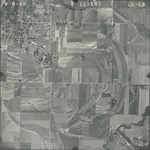
|
GS-EB-15-108
38.992053 -95.189794 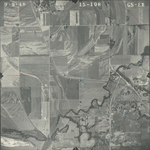
|
GS-EB-15-109
38.992448 -95.172155 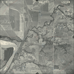
|
GS-EB-15-110
38.992606 -95.155533 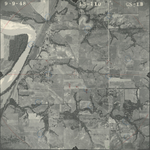
|
|
GS-EB-15-111
38.992369 -95.135809 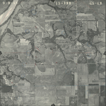
|
GS-EB-15-161
38.97474 -95.146775 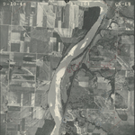
|
GS-EB-15-162
38.974977 -95.163804 
|
GS-EB-15-164
38.972488 -95.199184 
|
GS-EB-15-165
38.971737 -95.216721 
|
GS-EB-15-166
38.971065 -95.235733 
|
|
GS-EB-15-167
38.971381 -95.262064 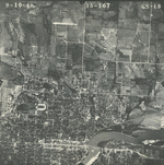
|
GS-EB-16-130
38.926126 -95.233682 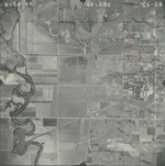
|
GS-EB-16-131
38.925418 -95.214358 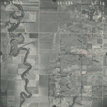
|
GS-EB-16-132
38.926334 -95.196318 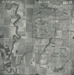
|
GS-EB-16-133
38.926667 -95.178011 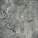
|
GS-EB-16-134
38.9265 -95.159489 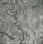
|
|
GS-EB-16-135
38.926251 -95.140218 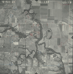
|
GS-EB-17-86
38.904759 -95.13524 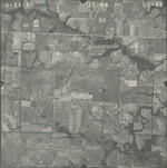
|
GS-EB-17-87
38.904717 -95.155474 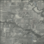
|
GS-EB-17-88
38.904759 -95.174585 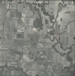
|
GS-EB-17-89
38.90555 -95.191233 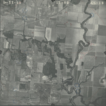
|
GS-EB-17-90
38.906134 -95.209326 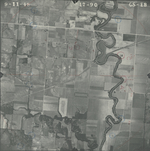
|
|
GS-EB-17-91
38.905884 -95.227419 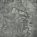
|
GS-EB-17-92
38.905884 -95.24578 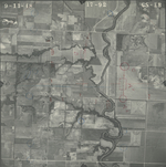
|
GS-EB-17-180
38.883303 -95.244444 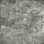
|
GS-EB-17-181
38.883678 -95.225494 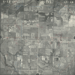
|
GS-EB-17-182
38.884136 -95.207133 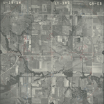
|
GS-EB-17-183
38.883928 -95.187166 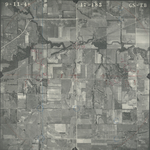
|
|
GS-EB-17-184
38.884345 -95.169822 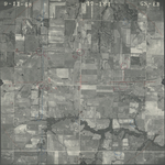
|
GS-EB-17-185
38.884761 -95.149749 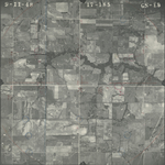
|
GS-EB-17-186
38.884178 -95.131816 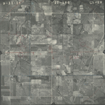
|
GS-EB-21-107
38.949137 -95.133341 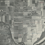
|
GS-EB-21-108
38.94897 -95.150149 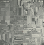
|
GS-EB-21-109
38.949303 -95.167493 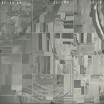
|
|
GS-EB-21-110
38.94943 -95.186981 
|
GS-EB-21-111
38.949299 -95.204503 
|
GS-EB-21-112
38.949123 -95.221968 
|
GS-EB-21-113
38.949342 -95.24079 
|
GS-EB-21-114
38.94965 -95.25865 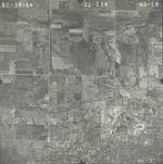
|
GS-EB-21-115
38.949914 -95.277302 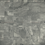
|