39.007624
-95.297861
39.00781
-95.284059
39.007132
-95.270528
39.007136
-95.260398
39.006811
-95.248035
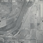
39.006404
-95.235323
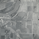
39.006485
-95.222506
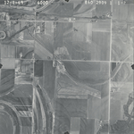
39.007761
-95.20934
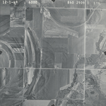
39.007923
-95.198025
39.007516
-95.186815
| Folder No. | County Name City |
Scanning | TSR | Quadrangle | Lat/Long | Project | Dates | Miscellaneous | Range of sheets | No. of sheets |
Cabinet | Notes |
|---|---|---|---|---|---|---|---|---|---|---|---|---|
|
Sheet 1, No. 838
View |
Douglas
Lawrence |
Scanned
(10 online) |
T. 12 S., R. 19-20 E. | Williamstown, Midland |
39.00726
-95.241289 |
860 2909 1 | 12-1-1969 | 1-1 to 10 | 10 | 16 |
Click on any thumbnail to view a larger photo.