| Folder No. | County Name City |
Scanning | TSR | Quadrangle | Lat/Long | Project | Dates | Miscellaneous | Range of sheets | No. of sheets |
Cabinet | Notes |
|---|---|---|---|---|---|---|---|---|---|---|---|---|
|
Sheet 1, No. 840
View |
Douglas
Lawrence |
Scanned
(18 online) |
T. 12 S., R. 18-20 E. | Clinton, Lawrence W, Lawrence E |
38.963589
-95.30753 |
860 2909 1 | 12-1-1969 | 4-1 to 19 | 19 | 16 |
Click on any thumbnail to view a larger photo.
|
860-2909-1-4-1
38.963869 -95.417553 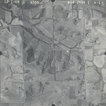
|
860-2909-1-4-2
38.963626 -95.405022 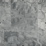
|
860-2909-1-4-3
38.964039 -95.393148 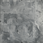
|
860-2909-1-4-4
38.963529 -95.381836 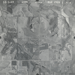
|
860-2909-1-4-5
38.963189 -95.370431 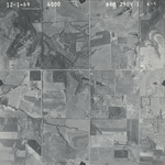
|
860-2909-1-4-6
38.963262 -95.3584 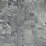
|
|
860-2909-1-4-8
38.963942 -95.332402 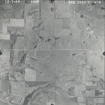
|
860-2909-1-4-9
38.963213 -95.321652 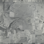
|
860-2909-1-4-10
38.963723 -95.309309 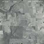
|
860-2909-1-4-11
38.962654 -95.297654 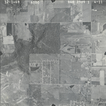
|
860-2909-1-4-12
38.963553 -95.285186 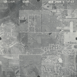
|
860-2909-1-4-13
38.963432 -95.274499 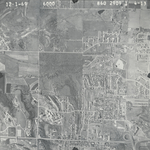
|
|
860-2909-1-4-14
38.964306 -95.261625 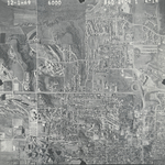
|
860-2909-1-4-15
38.964185 -95.250657 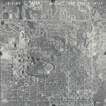
|
860-2909-1-4-16
38.963805 -95.238271 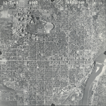
|
860-2909-1-4-17
38.963773 -95.224732 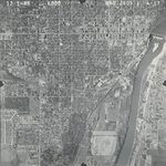
|
860-2909-1-4-18
38.963744 -95.212908 
|
860-2909-1-4-19
38.962755 -95.20026 
|