| Folder No. | County Name City |
Scanning | TSR | Quadrangle | Lat/Long | Project | Dates | Miscellaneous | Range of sheets | No. of sheets |
Cabinet | Notes |
|---|---|---|---|---|---|---|---|---|---|---|---|---|
|
Sheet 1, No. 841
View |
Douglas
Lone Star |
Scanned
(50 online) |
T. 14-15 S., R. 18-20 E. | Globe, Lone Star, Baldwin City |
38.808658
-95.313481 |
GS-EB | 12-19-1947, 8-24-1948, 9-11-1948, 9-13-1948, 9-25-1948 | 12-1 to 8, 18-51 to 24, 123 to 130, 19-65 to 57, 19-192 to 183, 3-50 to 56 | 58 | 16 | Markings on photographs |
Click on any thumbnail to view a larger photo.
|
GS-EB-3-50
38.776601 -95.371747 
|
GS-EB-3-51
38.777237 -95.353234 
|
GS-EB-3-52
38.776954 -95.334947 
|
GS-EB-3-53
38.777237 -95.317432 
|
GS-EB-3-54
38.777025 -95.300235 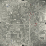
|
GS-EB-3-55
38.776954 -95.281268 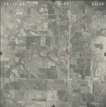
|
|
GS-EB-3-56
38.777202 -95.261394 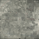
|
GS-EB-11-49
38.817606 -95.227305 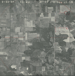
|
GS-EB-12-1
38.75475 -95.388584 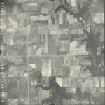
|
GS-EB-12-2
38.754149 -95.370707 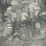
|
GS-EB-12-3
38.753989 -95.35057 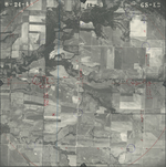
|
GS-EB-12-4
38.754353 -95.33402 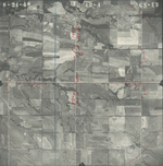
|
|
GS-EB-12-5
38.753902 -95.315785 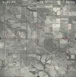
|
GS-EB-12-6
38.754394 -95.299074 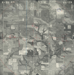
|
GS-EB-12-7
38.753779 -95.2821 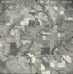
|
GS-EB-12-8
38.753779 -95.262971 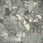
|
GS-EB-18-44
38.862756 -95.251521 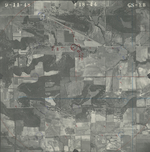
|
GS-EB-18-45
38.862963 -95.268939 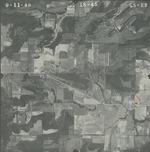
|
|
GS-EB-18-46
38.863211 -95.28779 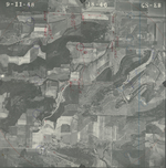
|
GS-EB-18-47
38.862508 -95.306269 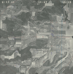
|
GS-EB-18-48
38.862922 -95.325174 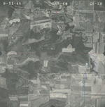
|
GS-EB-18-49
38.862674 -95.344078 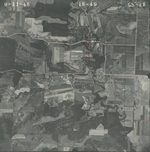
|
GS-EB-18-50
38.86255 -95.363035 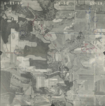
|
GS-EB-18-51
38.862301 -95.380931 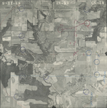
|
|
GS-EB-18-123
38.840036 -95.388283 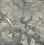
|
GS-EB-18-124
38.840626 -95.371535 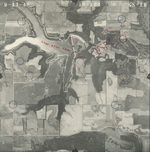
|
GS-EB-18-125
38.840311 -95.353173 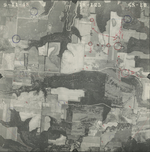
|
GS-EB-18-126
38.840901 -95.333097 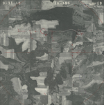
|
GS-EB-18-127
38.841136 -95.316299 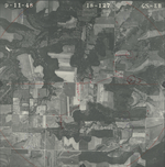
|
GS-EB-18-128
38.840704 -95.297785 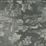
|
|
GS-EB-18-129
38.841372 -95.279323 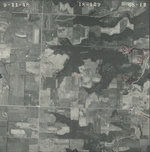
|
GS-EB-18-130
38.841136 -95.260608 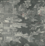
|
GS-EB-19-58
38.817851 -95.244119 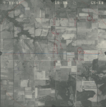
|
GS-EB-19-59
38.817582 -95.264006 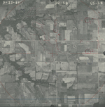
|
GS-EB-19-60
38.818081 -95.283352 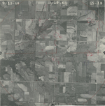
|
GS-EB-19-61
38.818234 -95.302058 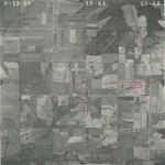
|
|
GS-EB-19-62
38.818426 -95.321453 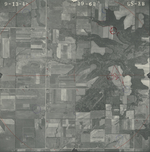
|
GS-EB-19-63
38.818196 -95.339568 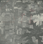
|
GS-EB-19-64
38.818234 -95.357584 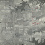
|
GS-EB-19-65
38.818273 -95.375847 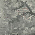
|
GS-EB-19-183
38.796417 -95.219658 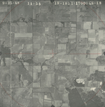
|
GS-EB-19-184
38.796542 -95.238244 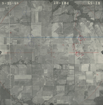
|
|
GS-EB-19-185
38.796707 -95.256245 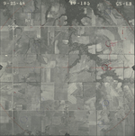
|
GS-EB-19-186
38.796748 -95.274512 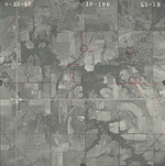
|
GS-EB-19-187
38.797411 -95.291399 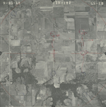
|
GS-EB-19-188
38.796889 -95.309666 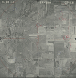
|
GS-EB-19-189
38.797427 -95.327084 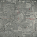
|
GS-EB-19-190
38.797345 -95.345935 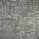
|
|
GS-EB-19-191
38.797386 -95.362981 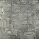
|
GS-EB-19-192
38.797138 -95.381142 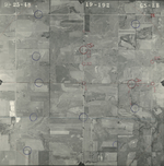
|