| Folder No. | County Name City |
Scanning | TSR | Quadrangle | Lat/Long | Project | Dates | Miscellaneous | Range of sheets | No. of sheets |
Cabinet | Notes |
|---|---|---|---|---|---|---|---|---|---|---|---|---|
|
Sheet 1, No. 842
View |
Douglas
Lawrence |
Scanned
(29 online) |
T. 12-13 S., R. 17-19 E. | Clinton, Lawrence W |
38.931762
-95.407503 |
GS-VCMD | 9-24-1970 | 1-105 to 99, 56 to 62, 53 to 45, 1 to 7 | 30 | 16 |
Click on any thumbnail to view a larger photo.
|
GS-VCMD-1-1
38.882634 -95.342981 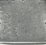
|
GS-VCMD-1-2
38.882108 -95.358394 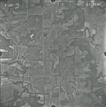
|
GS-VCMD-1-3
38.882897 -95.381447 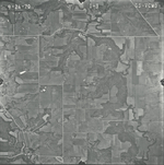
|
GS-VCMD-1-4
38.882476 -95.404904 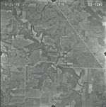
|
GS-VCMD-1-5
38.88195 -95.431337 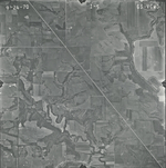
|
GS-VCMD-1-6
38.882713 -95.455996 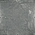
|
|
GS-VCMD-1-7
38.882292 -95.481685 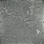
|
GS-VCMD-1-45
38.916331 -95.49169 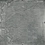
|
GS-VCMD-1-46
38.9167 -95.466001 
|
GS-VCMD-1-47
38.917278 -95.442138 
|
GS-VCMD-1-48
38.916647 -95.41557 
|
GS-VCMD-1-49
38.915911 -95.391233 
|
|
GS-VCMD-1-50
38.915648 -95.364869 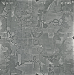
|
GS-VCMD-1-51
38.915911 -95.342695 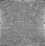
|
GS-VCMD-1-53
38.916489 -95.291994 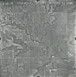
|
GS-VCMD-1-56
38.949461 -95.333231 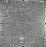
|
GS-VCMD-1-57
38.948935 -95.356486 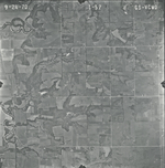
|
GS-VCMD-1-58
38.948462 -95.38204 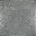
|
|
GS-VCMD-1-59
38.948041 -95.40854 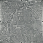
|
GS-VCMD-1-60
38.948094 -95.433688 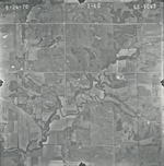
|
GS-VCMD-1-61
38.947516 -95.458295 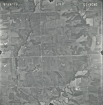
|
GS-VCMD-1-62
38.948252 -95.482361 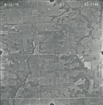
|
GS-VCMD-1-99
38.980946 -95.48858 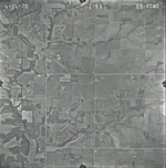
|
GS-VCMD-1-100
38.982154 -95.463973 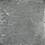
|
|
GS-VCMD-1-101
38.98247 -95.439975 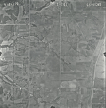
|
GS-VCMD-1-102
38.982943 -95.412866 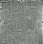
|
GS-VCMD-1-103
38.981892 -95.388259 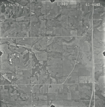
|
GS-VCMD-1-104
38.981576 -95.365477 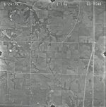
|
GS-VCMD-1-105
38.982365 -95.34087 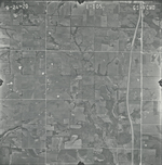
|