| Folder No. | County Name City |
Scanning | TSR | Quadrangle | Lat/Long | Project | Dates | Miscellaneous | Range of sheets | No. of sheets |
Cabinet | Notes |
|---|---|---|---|---|---|---|---|---|---|---|---|---|
|
Sheet 1, No. 843
View |
Douglas
Clinton |
Scanned
(44 online) |
T. 12-13 S., R. 17-18 E. | Richland, Clinton |
38.934258
-95.436594 |
GS-EB | 9-9-1948, 9-10-1948, 9-11-1948, 9-25-1948 | Code 165418 | 20-24, 33 to 25, 17-105 to 99, 16-116 to 122, 16-47 to 52, 15-174 to 180, 15-97 to 91 , (20-33, 17-19, 16-122, 15-174, 15-97 duplicated) | 39 | 16 |
Click on any thumbnail to view a larger photo.
|
GS-EB-15-91
38.991985 -95.488246 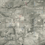
|
GS-EB-15-92
38.99181 -95.470966 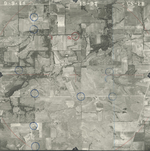
|
GS-EB-15-93
38.991592 -95.453797 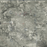
|
GS-EB-15-94
38.99119 -95.437211 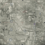
|
GS-EB-15-95
38.991452 -95.419201 
|
GS-EB-15-96
38.991495 -95.401865 
|
|
GS-EB-15-97
38.991582 -95.383855 
|
GS-EB-15-174
38.971433 -95.379142 
|
GS-EB-15-175
38.971651 -95.398162 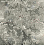
|
GS-EB-15-176
38.971695 -95.414601 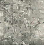
|
GS-EB-15-177
38.971782 -95.43233 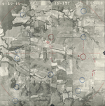
|
GS-EB-15-178
38.971389 -95.448433 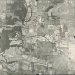
|
|
GS-EB-15-179
38.971651 -95.465882 
|
GS-EB-15-180
38.973178 -95.484172 
|
GS-EB-16-47
38.950173 -95.39115 
|
GS-EB-16-48
38.94966 -95.409049 
|
GS-EB-16-49
38.949916 -95.424861 
|
GS-EB-16-50
38.949831 -95.443967 
|
|
GS-EB-16-51
38.950002 -95.463019 
|
GS-EB-16-52
38.949746 -95.480423 
|
GS-EB-16-116
38.926746 -95.493676 
|
GS-EB-16-117
38.926118 -95.47833 
|
GS-EB-16-118
38.926397 -95.461656 
|
GS-EB-16-119
38.926432 -95.443817 
|
|
GS-EB-16-120
38.926223 -95.425082 
|
GS-EB-16-121
38.92549 -95.404912 
|
GS-EB-16-122
38.92556 -95.385281 
|
GS-EB-17-99
38.906092 -95.380202 
|
GS-EB-17-100
38.90601 -95.397153 
|
GS-EB-17-101
38.905764 -95.415893 
|
|
GS-EB-17-102
38.904781 -95.433054 
|
GS-EB-17-103
38.905273 -95.451532 
|
GS-EB-17-104
38.904986 -95.469746 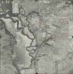
|
GS-EB-17-105
38.905846 -95.488276 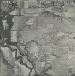
|
GS-EB-20-24
38.883937 -95.521225 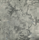
|
GS-EB-20-25
38.884164 -95.502638 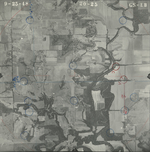
|
|
GS-EB-20-26
38.88424 -95.483465 
|
GS-EB-20-27
38.884354 -95.46683 
|
GS-EB-20-28
38.884392 -95.447998 
|
GS-EB-20-29
38.884126 -95.430631 
|
GS-EB-20-30
38.88424 -95.410922 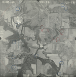
|
GS-EB-20-31
38.88424 -95.392627 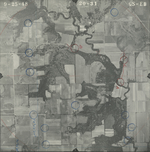
|
|
GS-EB-20-32
38.884344 -95.375557 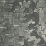
|
GS-EB-20-33
38.884382 -95.359312 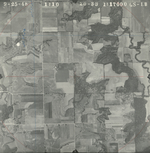
|