| Folder No. | County Name City |
Scanning | TSR | Quadrangle | Lat/Long | Project | Dates | Miscellaneous | Range of sheets | No. of sheets |
Cabinet | Notes |
|---|---|---|---|---|---|---|---|---|---|---|---|---|
|
Sheet 1, No. 870
View |
Elk
Fall River |
Scanned
(11 online) |
T. 28-29 S., R. 12-13 E. | Fall River, New Albany |
37.55782
-96.036721 |
GS-VDRB | 12-2-1974 | Flights 1, 2, 3, 4 | 1-115 to 119, 1-147 to 143, 1-165, 1-213 to 220 | 11 | 17 | BK 1 McFarlin, EW 11,500 |
Click on any thumbnail to view a larger photo.
|
GS-VDRB-1-115
37.607402 -96.109993 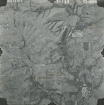
|
GS-VDRB-1-117
37.607552 -96.059605 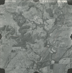
|
GS-VDRB-1-119
37.607157 -96.007487 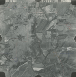
|
GS-VDRB-1-143
37.573927 -95.998587 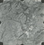
|
GS-VDRB-1-145
37.575789 -96.051203 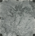
|
GS-VDRB-1-147
37.577595 -96.102325 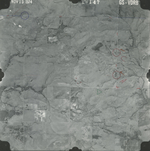
|
|
GS-VDRB-1-165
37.542898 -96.035819 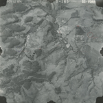
|
GS-VDRB-1-215
37.51094 -96.077652 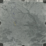
|
GS-VDRB-1-217
37.510093 -96.028453 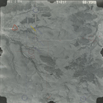
|
GS-VDRB-1-219
37.510601 -95.979753 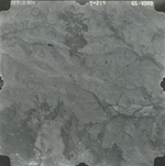
|
GS-VDRB-1-220
37.51207 -95.953053 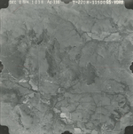
|