| Folder No. | County Name City |
Scanning | TSR | Quadrangle | Lat/Long | Project | Dates | Miscellaneous | Range of sheets | No. of sheets |
Cabinet | Notes |
|---|---|---|---|---|---|---|---|---|---|---|---|---|
|
Sheet 1, No. 99
View |
Barber, Comanche
Aetna |
Scanned
(12 online) |
S 15-22, 27-30 T. 34S R 15W and S 13, 24, 35 T. 34S R 16W | Medicine Lodge 3SW |
37.0729
-98.988948 |
GS-VCVH | 1-2-1972 | Flights 1,2,3, and 4 EW 11500 | 2:26, 27, 29, 33, 71, 73, 75, 77, 78, 79, 81, 190 | 12 | 2 |
Click on any thumbnail to view a larger photo.
|
GS-VCVH-2-26
37.110285 -99.045685 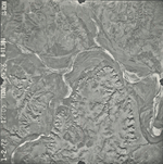
|
GS-VCVH-2-27
37.110154 -99.022755 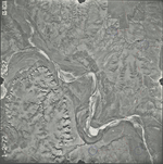
|
GS-VCVH-2-29
37.110134 -98.973395 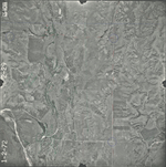
|
GS-VCVH-2-33
37.11067 -98.880117 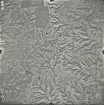
|
GS-VCVH-2-72
37.074707 -98.90149 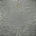
|
GS-VCVH-2-73
37.075518 -98.947834 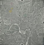
|
|
GS-VCVH-2-75
37.073743 -98.997731 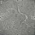
|
GS-VCVH-2-77
37.070986 -99.040472 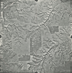
|
GS-VCVH-2-78
37.043275 -99.039073 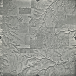
|
GS-VCVH-2-79
37.043056 -99.016438 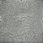
|
GS-VCVH-2-81
37.043984 -98.970845 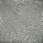
|
GS-VCVH-2-190
37.008286 -99.031538 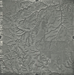
|