| Folder No. | County Name City |
Scanning | TSR | Quadrangle | Lat/Long | Project | Dates | Miscellaneous | Range of sheets | No. of sheets |
Cabinet | Notes |
|---|---|---|---|---|---|---|---|---|---|---|---|---|
|
Sheet 1, No. 100
View |
Barber
Deerhead |
Scanned
(14 online) |
sec. 21-28, T. 32 S., R. 15 W. | Medicine Lodge 3NW |
37.194484
-98.982081 |
GS-VCVH | 12-31-1971 | Flights 1, 2, 3, and 4 EW 11500 | 1:203, 205, 207, 208, 209, 210, 211, 213, 217, 2:19, 23, 25, 185, 187 | 14 | 2 |
Click on any thumbnail to view a larger photo.
|
GS-VCVH-1-203
37.240141 -98.915791 
|
GS-VCVH-1-205
37.240581 -98.962651 
|
GS-VCVH-1-207
37.240262 -99.009551 
|
GS-VCVH-1-208
37.239104 -99.033727 
|
GS-VCVH-1-209
37.237548 -99.059156 
|
GS-VCVH-1-210
37.175101 -99.0412 
|
|
GS-VCVH-1-211
37.175409 -99.016861 
|
GS-VCVH-1-213
37.176064 -98.968302 
|
GS-VCVH-1-217
37.174326 -98.877838 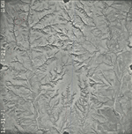
|
GS-VCVH-2-19
37.139862 -98.896334 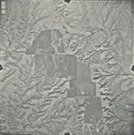
|
GS-VCVH-2-23
37.136405 -98.991396 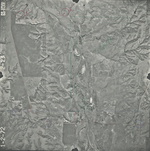
|
GS-VCVH-2-25
37.138515 -99.036294 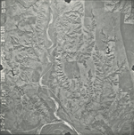
|
|
GS-VCVH-2-185
37.205453 -98.946143 
|
GS-VCVH-2-187
37.204 -98.993883 
|