|
1
||
2
||
3
||
4
||
5
|
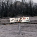
Mine Danger Sign
|
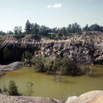
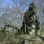
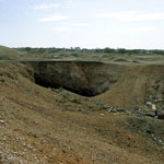
Collapsed Mine
|
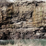
Collapsed Mine Wall
|
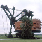
Big Brutus
|
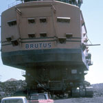
Big Brutus
|
Mississippian Limestone Outcrop
|
Abandoned Mine Shaft
|
Abandoned Mine Shaft
|
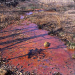
Acid Mine Drainage
|
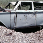
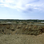
Mine Waste
|
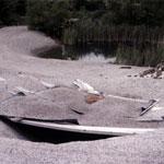
Collapsed Mine Entrance
|
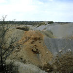
Mine Waste
|
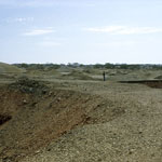
Mine Waste
|
Mine Waste from Lead and Zinc Mining
|
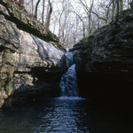
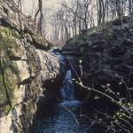
Waterfall over Limestone
|
Waterfall over Limestone
|
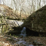
Mississippian-Age Limestone
|
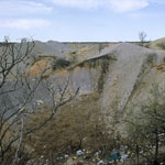
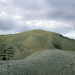
Chat Pile from Lead and Zinc Mining
|
|
1
||
2
||
3
||
4
||
5
|
|