|
1
||
2
||
3
||
4
|
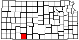
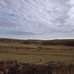
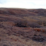
Red Hills
|
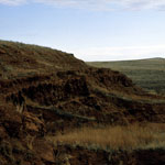
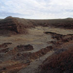
Limestone Garage
|
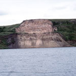
Spalled Ash at Clark State Fishing Lake
|
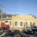
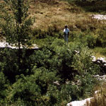
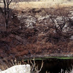
Landslide at Clark State Fishing Lake
|
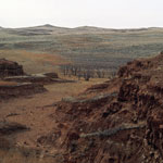
Red Hills
|
Gypsum along Cimarron River
|
Silicified Ogallala Formation near Big Basin
|
Red beds
|
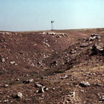
Day Creek Dolomite Outcrop
|
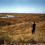
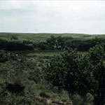
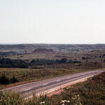
Little Basin
|
Red Beds
|
Red Hills
|
Red Hills
|
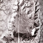
Big Basin Prairie Preserve (Aerial)
|
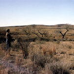
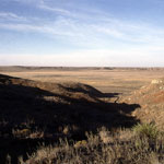
Big Basin Prairie Preserve
|
St. Jacob's Well in Little Basin
|
St. Jacob's Well
|
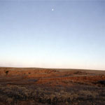
Moon over Red Hills
|
|
1
||
2
||
3
||
4
|