|
1
||
2
||
3
||
4
|
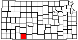
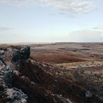
Red Hills
|
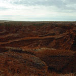
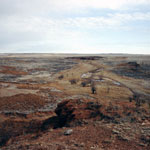
Ogallala Formation Outcrop at Clark State Fishing Lake
|
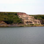
Grazing Bison
|
Spalled Ogallala Formation Mortar Beds
|
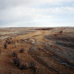
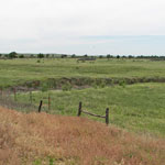
View over Keiger Creek
|
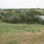
Keiger Creek
|
Meander Cutoff Near Cimarron River
|
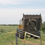
Equipment to Remove Invasive Saltcedars
|
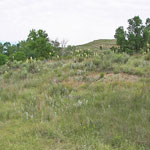
Hillside at Clark State Fishing Lake
|
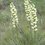
Yucca Near Clark State Fishing Lake
|
Meander Cutoff Near Cimarron River
|
Equipment to Remove Invasive Saltcedars

|
|
1
||
2
||
3
||
4
|