142 records returned. Select photo to view larger version.
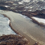
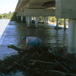
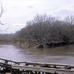
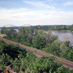
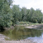
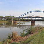
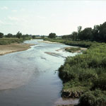
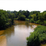
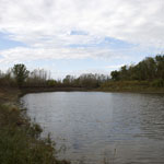
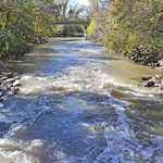
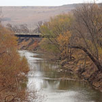
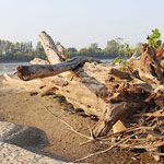
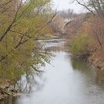
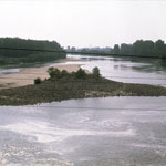 Kansas River
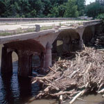
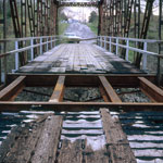
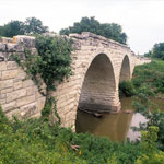
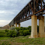
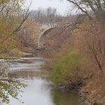
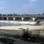 Old Kansas River Bridge
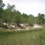
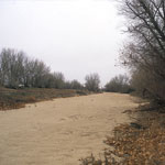
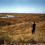
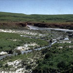
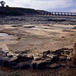
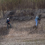
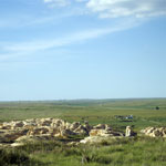
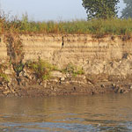
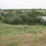
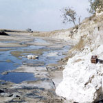 Riverbed Fault in Saline River
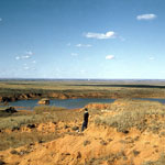
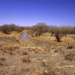
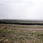
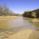
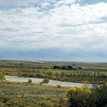
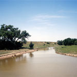
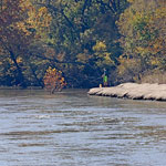
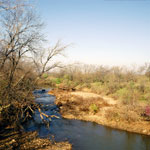
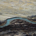
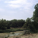 South Fork Republican River
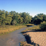
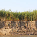
 Cimarron River
 Cimarron River near Wagon Bed Springs
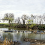
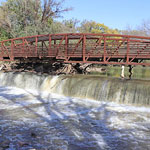
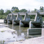
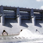 Fall River Dam
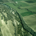
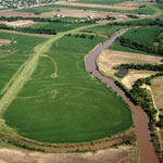
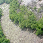
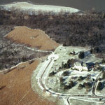 Cedar Crest and the Kansas River (Aerial)
 Union Pacific Railroad Passenger Depot (Aerial)
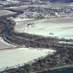
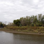
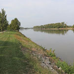
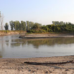
 Wakarusa River
 Kansas River at Eudora (Aerial)
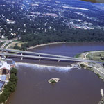
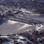 Kansas River Bridges and Bowersock Dam (Aerial)
 Delaware River and Lecompton on the Kansas River (Aerial)
 Kansas River (Aerial)
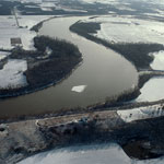
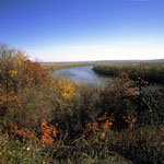
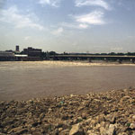
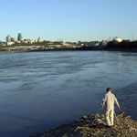
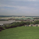
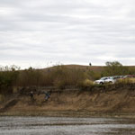
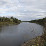
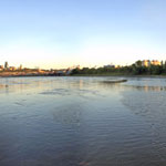
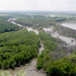
 Missouri River
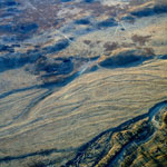
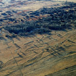
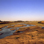 Braided Streams
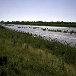
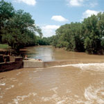
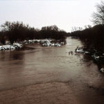
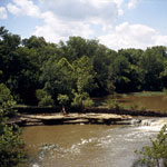
 Flooding on Arkansas River
 South Fork Republican River
 Medicine Lodge River
 Missouri River
 North Fork of Cimarron River
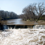
 Osro Falls
 Missouri River
 Caney River
 Solomon and Smoky Hill Rivers
 Caney River
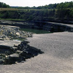
 Arkansas River, Dry Riverbed
 High Flow on Arkansas River
 Missouri River from Leavenworth Esplanade
 Cimarron River near Wagon Bed Springs
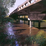
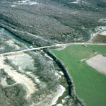
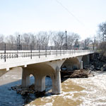
 Cottonwood River Bridge
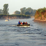
 Arkansas River
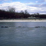
 Low Flow in the Arkansas River
 Cottonwood Falls on Cottonwood River
 Missouri River Sand Dredging
 South Fork Republican River
 Gypsum along Cimarron River
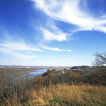
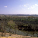
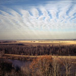
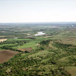
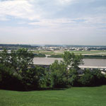
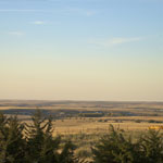
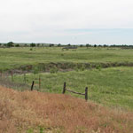
 Republican River Valley
 Chikaskia River
 Point Bar on Arkansas River
 Champion Draw into Medicine Lodge River
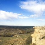
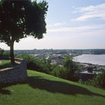
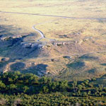
 White Cloud Overlook
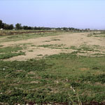
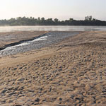
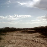 Tracks in Dry Riverbed
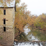
 Smoky Valley Roller Mill
 Bridge Over Verdigris River
 Amelia Earhart Bridge Over the Missouri River, Atchison
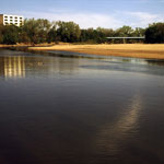
 Missouri River, Atchison
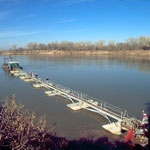
 Kansas River Levee
 Arkansas River
 Braided Arkansas River (Aerial)
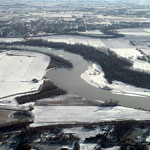
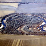
 Stranger Creek at Kansas River Bend (Aerial)
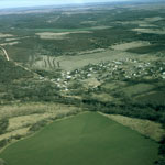
 Wamego
 Elgin (Aerial)
 Caney River (Aerial)
 Cedar Vale (Aerial)
 Caney River (Aerial)
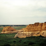
 Point of Rocks Outcrop
 1993 Kansas River Flood
 1993 Kansas River Flood
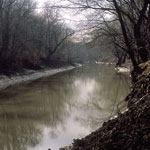
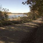
 Low Flow on the Delaware River
 KGS Core Drilling
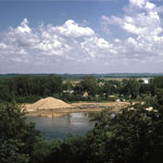
 Sand Dredging
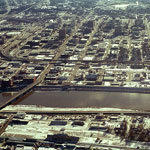
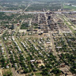
 Downtown Topeka (Aerial)
 Kansas River (Aerial)
 Confluence of Little Arkansas and Arkansas River (Aerial)
 Bowersock Dam (Aerial)
 Delaware River Entering the Kansas River (Aerial)
 Chalk Bluffs
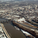
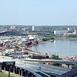
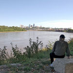
 Confluence of Kansas and Missouri Rivers at Kaw Point
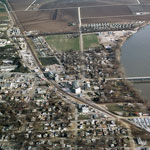
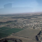
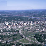
 Topeka (Aerial)
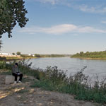
 Missouri River Near Confluence With Kansas River
 Missouri River
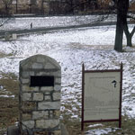 Santa Fe Trail and Oregon Trail Marker at Fort Leavenworth
 Osro Falls
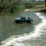
 Rocky Ford on Big Blue River
 Missouri River
 Missouri River
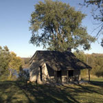 Territorial Kansas Democratic Headquarters
 Kansas River Valley (Aerial)
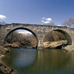 Clements Stone Arch Bridge
 Smoky Hill River
 Flood Erosion Below Tuttle Creek Spillway
 Smoky Hill River
 Missouri River
 Flood Erosion Below Tuttle Creek Spillway
 Cedar Point Mill and Dam
 Missouri River
 Missouri River
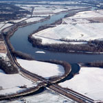
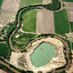
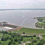
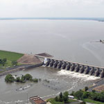 John Redmond Reservoir and Dam (Aerial)
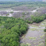
 Abandoned Smoky Hill River Meander (Aerial)
 Elk Falls
 Missouri River, Atchison
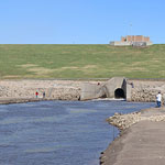
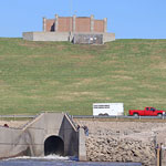 El Dorado Lake Spillway
 Relic Braided Channel Bars Along Arkansas River (Aerial)
 Geoarchaeologists on Big Blue River Bank
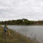
 Total Station Measurements at Coffey Geoarchaeology Site
 Cottonwood River Bridge
 North Fork of the Ninnescah River
 Coffey Geoarchaeology Site
 Riverfront Road between Lecompton and Lawrence
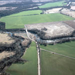
 Sand Dredging Along the Smoky Hill River (Aerial)
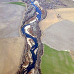
 Republican River (Aerial)
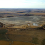 Dry Lake McKinney (Aerial)
 Verdigris River
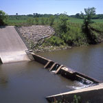
 Diversion Dam on the Arkansas River Near Dundee
 View Downstream on Big Blue River
 View Upstream on Big Blue River
 El Dorado Lake Spillway and Walnut River
 El Dorado Lake Spillway and Walnut River
 El Dorado Lake Spillway and Walnut River
 Walnut River, El Dorado
 Walnut River Pedestrian Bridge and Falls, El Dorado
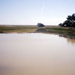
 Spring Flow on Cimarron River
 Total Station Measurements at Coffey Geoarchaeology Site
 Clements Stone Arch Bridge
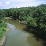
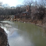
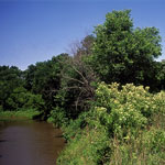
 Cottonwood River
 Relic Braided Channel Bars Along Arkansas River (Aerial)
 Cutback Bank Along Arkansas River (Aerial)
 Little Jerusalem and the Smoky Hill River Valley
 Confluence of the Kansas and Missouri Rivers at Kaw Point
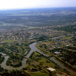
 Smoky Hill River Valley
 Neosho River (Aerial)
 Neosho River (Aerial)
 Neosho River (Aerial)
 John Redmond Reservoir and Dam (Aerial)
 Republican River (Aerial)
 Samson of the Cimarron Railroad Bridge
 Cottonwood Falls Dam
 Point of Rocks and Cimarron River (Aerial)
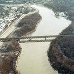 Kansas River Bridges (Aerial)
 Alluvium Along a Missouri River Side-Channel Chute
 Missouri River, Atchison
 Alluvium Along a Missouri River Side-Channel Chute
 Missouri River Sandbar
 Missouri River Sandbar
 Missouri River Sandbar
 Missouri River Side-Channel Chute
 Meander Cutoff Near Cimarron River
 Meander Cutoff Near Cimarron River
 Diversion Dam on the Arkansas River near Dundee
 Cottonwood River and Clements Stone Arch Bridge
 Cottonwood River and Clements Stone Arch Bridge
Kansas Geological Survey · 1930 Constant Ave. · Lawrence, KS 66047-3724
785-864-3965 · Comments to webadmin@kgs.ku.edu
Updated April 2018
Website Terms of Use
Log In
