|
1
||
2
||
3
||
4
|
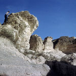
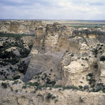
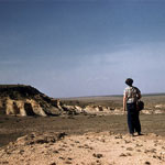
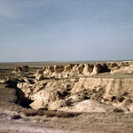
Chalk Badlands
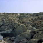
|
Chalk Badlands
|
Chalk Badlands
|
Chalk Bluffs West of Elkader
|
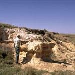
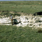
Volcanic Ash Beds
|
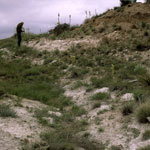
Volcanic Ash Outcrop
|
Volcanic Ash Over Niobrara Chalk
|
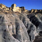
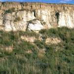
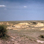
Eroded Chalk and Shale Beds
|
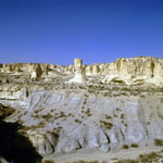
Little Jerusalem Badlands
|
Volcanic Ash
|
Volcanic Ash Outcrop
|
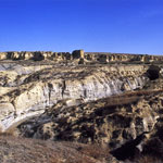
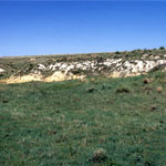
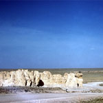
Chalk Bluffs
|
Chalk and Yucca
|
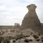
Little Pyramids
|
Little Jerusalem Badlands
|
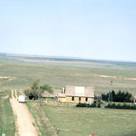
Keystone Gallery
|
Niobrara Chalk Formations (Aerial)
|
Little Jerusalem Badlands
|
|
1
||
2
||
3
||
4
|