| Folder No. | County Name City |
Scanning | TSR | Quadrangle | Lat/Long | Project | Dates | Miscellaneous | Range of sheets | No. of sheets |
Cabinet | Notes |
|---|---|---|---|---|---|---|---|---|---|---|---|---|
|
Sheet 1, No. 233
View |
Butler
Atlanta |
Scanned
(12 online) |
T. 27 S., R. 4 E. | Augusta SE and Atlanta |
37.520559
-96.810882 |
GS-VENV | 3-21-1978 | Flights 1 and 2 | 1-40 to 1-78 | 12 | 5 | See Augusta Index Sheet |
Click on any thumbnail to view a larger photo.
|
GS-VENV_1-40
37.44672 -96.776015 
|
GS-VENV_1-41
37.478835 -96.775623 
|
GS-VENV_1-42
37.512258 -96.778856 
|
GS-VENV_1-43
37.54464 -96.78221 
|
GS-VENV_1-44
37.577638 -96.781331 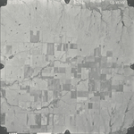
|
GS-VENV_1-45
37.61264 -96.77975 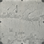
|
|
GS-VENV_1-73
37.593715 -96.8443 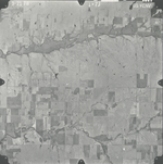
|
GS-VENV_1-74
37.561489 -96.844125 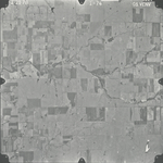
|
GS-VENV_1-75
37.530851 -96.842017 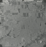
|
GS-VENV_1-76
37.494417 -96.844213 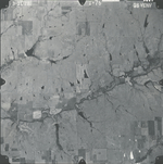
|
GS-VENV_1-77
37.461916 -96.840811 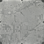
|
GS-VENV_1-78
37.431586 -96.841338 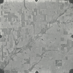
|